How to choose LiDAR classification software for airborne and UAV data
There is no single best LiDAR classification software. There is the tool that fits your data, your contracts, and the way your team actually works. The right way to choose is to turn the decision into a short list of criteria you can test on your own tiles, instead of a demo someone else controls. Here are the criteria, in the order they usually decide the outcome.
Match the software to your data type first
A classifier is only as good as the geometry it was tuned for. Airborne and UAV surveys look almost straight down: roofs, bare earth, and canopy are densely sampled from above, walls barely at all. Mobile and terrestrial scanners see the opposite world, rich facades and thin, oblique ground. A model tuned for one viewpoint carries assumptions that fail on the other.
So ask the narrow question: was this tuned for airborne and UAV data, or is airborne a secondary mode bolted onto a mobile-first tool? If your work is corridor or municipal mapping flown from an aircraft or drone, a tool built for that viewpoint will fight you less.
Where classification runs: local desktop or cloud
For some programs this criterion decides eligibility, not convenience. Airborne campaigns run to tens of gigabytes, so where the points already sit matters: a block on a field workstation is quickest to classify there; a campaign delivered into cloud storage is quickest to classify in the cloud. Many contracts also name where the point cloud may be processed, on controlled machines or with an approved processor. Ask a vendor first whether it offers a runtime that satisfies the clause.
Desktop processing keeps data where it landed and makes re-runs cost time rather than money, provided the workstation has a GPU with enough memory for the model and the points. Cloud processing removes the hardware question and fits burst campaigns, teams without workstations, and review shared across offices. A vendor that offers both on the same models lets the contract and the job decide.
Pretrained models: do they already cover your classes?
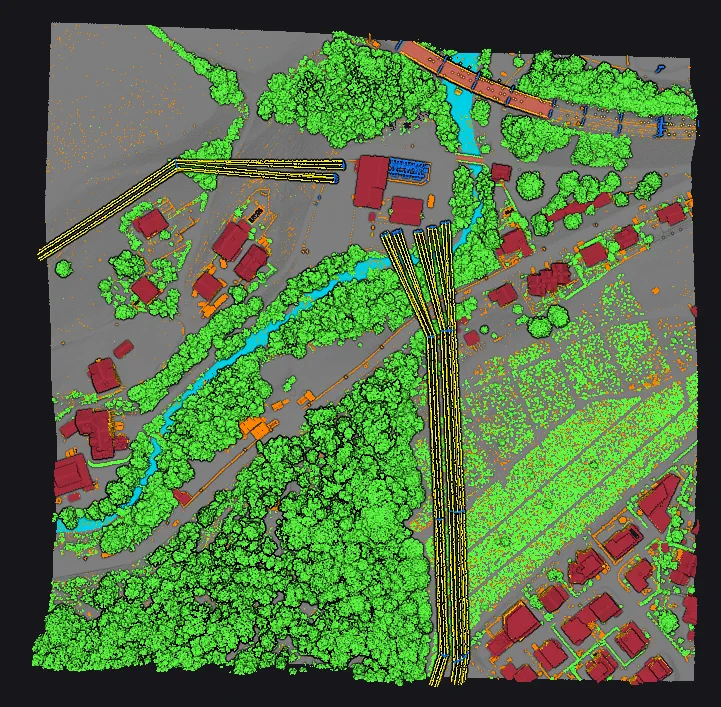
Classification methods come in two families. Rule-based, geometric methods classify by explicit criteria: height above a fitted surface, slope, planarity. They are predictable and remain the backbone of terrain work. Learning-based methods classify from labelled examples and separate the classes geometry alone struggles with, building from vegetation, wire from tower.
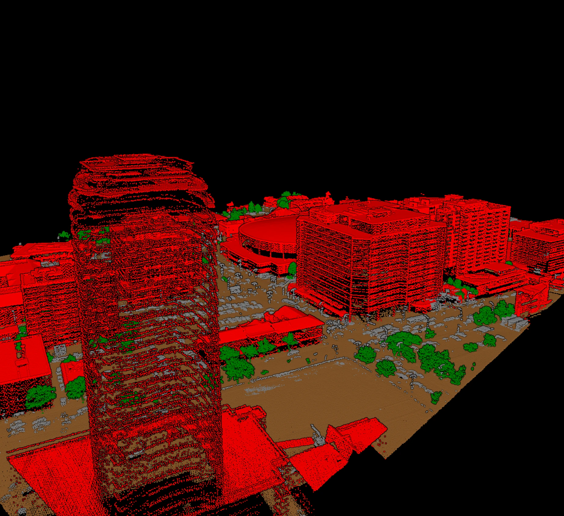
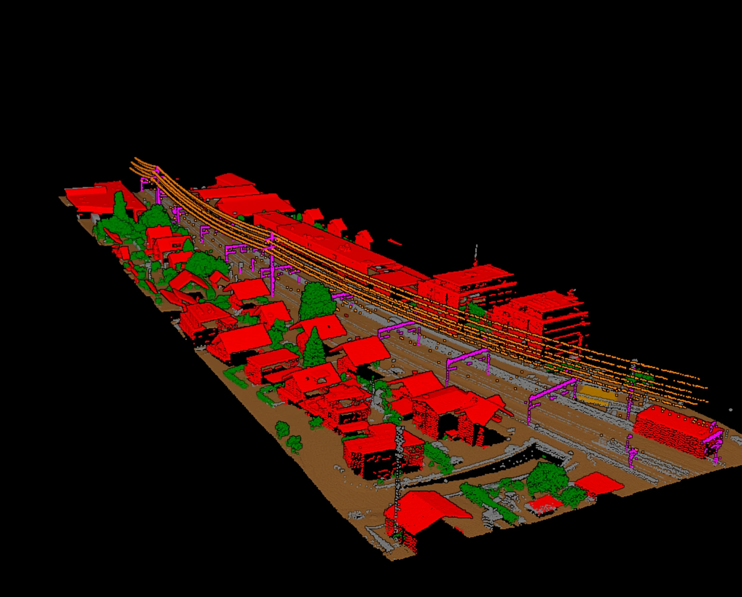
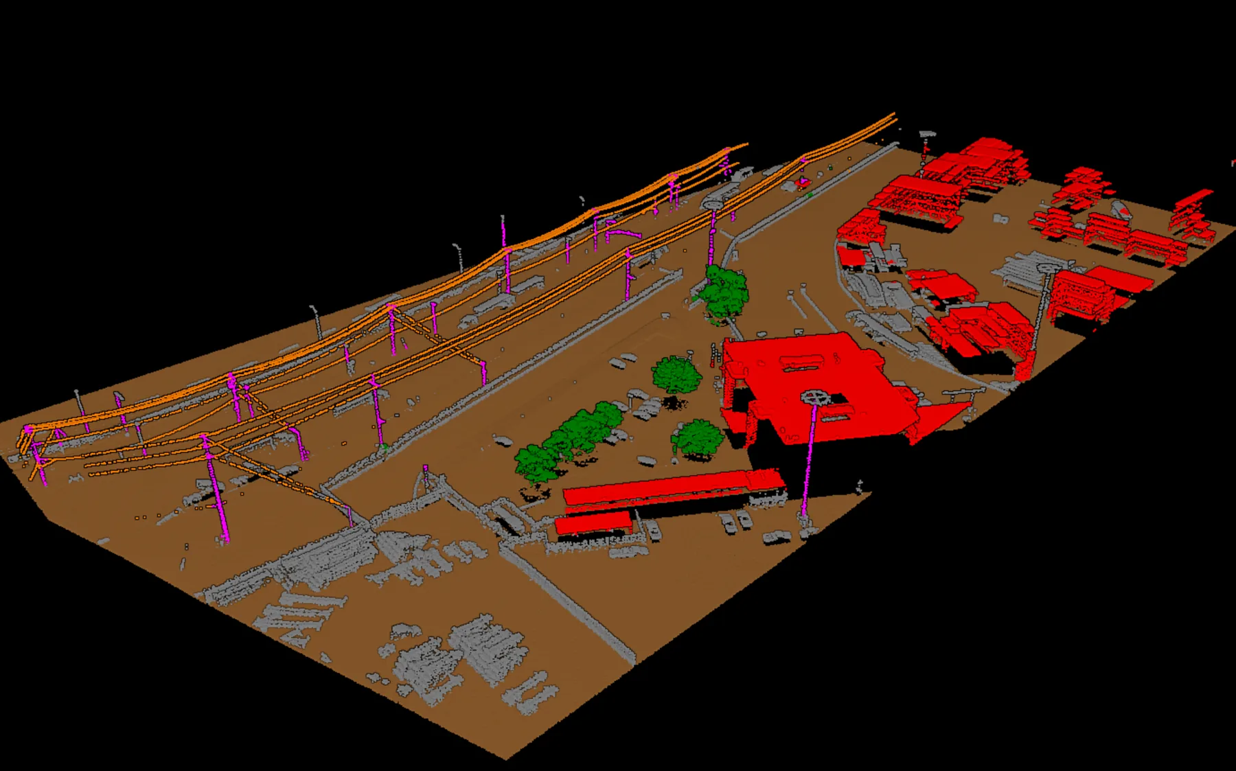
The question that matters to a buyer is not which method a tool names but whether it ships models already trained for your classes. Training a network yourself means labelling tiles by hand, GPU time, and expertise most production teams do not keep in-house. If the software arrives with pretrained models covering ground, the vegetation splits, buildings, and utility corridors on airborne data, you get results on day one. Ask directly: which classes are pretrained, on what kind of data, and what happens to classes outside that set?
Formats and round-trip fidelity
A classifier sits in the middle of a pipeline, so it must read and write your formats without loss. The baseline is LAS, its compressed twin LAZ, and COPC in both directions. Fidelity goes beyond coordinates: the LAS spec stores a classification code on every point plus status flags (synthetic, key-point, withheld, and in LAS 1.4, overlap). A tool that quietly drops those flags on export corrupts work done upstream.
Coordinate handling is the other leak. LAS files carry their CRS in the header; a classifier must read it, keep it, and write it back so GIS and CAD tools place the block correctly. A tile that comes back a metre off is worse than no automation at all.
Review: every block gets checked before it ships
No classifier is right everywhere, so how the output reaches a reviewer matters as much as the automatic pass. Some software is built to run and be trusted. Better software assumes a human checks the result before a block ships, and structures its output for that: classes a reviewer can isolate and inspect, results that behave the same way on every tile, and an accuracy story that can be verified against reference tiles rather than taken on faith.
Throughput is the other half. Check that the tool batches many tiles without hand-holding, that the same parameters give the same result months later, and that its hardware needs match the workstations you own. A tool that classifies one demo tile beautifully but cannot run a hundred tiles overnight will not survive a real campaign.
A checklist you can run on your own trial tiles
The only reliable evaluation uses your own data. Bring three representative tiles: a hard one, an easy one, and one carrying the classes your contracts hinge on. Then run every candidate through the same checks.
| Criterion | What to check | Why it matters |
|---|---|---|
| Data-type fit | Tuned for airborne and UAV nadir data | A classifier misreads geometry it was not tuned for |
| Where it runs | Classifies fully offline on your hardware | Contracts may forbid the cloud entirely |
| Pretrained classes | Ships models for ground, vegetation, building, utilities | No labelling tiles or training a model yourself |
| Format round trip | LAS/LAZ/COPC in and out, codes and flags intact | Dropped flags corrupt upstream work |
| CRS fidelity | Reads, keeps, and writes the coordinate reference | A shifted tile is worse than no automation |
| Reviewable output | Classes isolate cleanly; accuracy checkable on reference tiles | Every block gets checked before it ships |
| Throughput | Batches tiles; same parameters, same result | A demo tile is not a hundred-tile campaign |
The trial itself is a short routine:
- Run the same three tiles through every candidate. Never let a vendor pick the tile.
- Export the result and re-import it in your GIS or CAD stack. Coordinates and classification codes must land unchanged.
- Batch the whole set overnight and check the morning result for consistency, not just the showcase tile.
- Confirm the workflow runs end to end on your own hardware, offline, if your contracts require it.
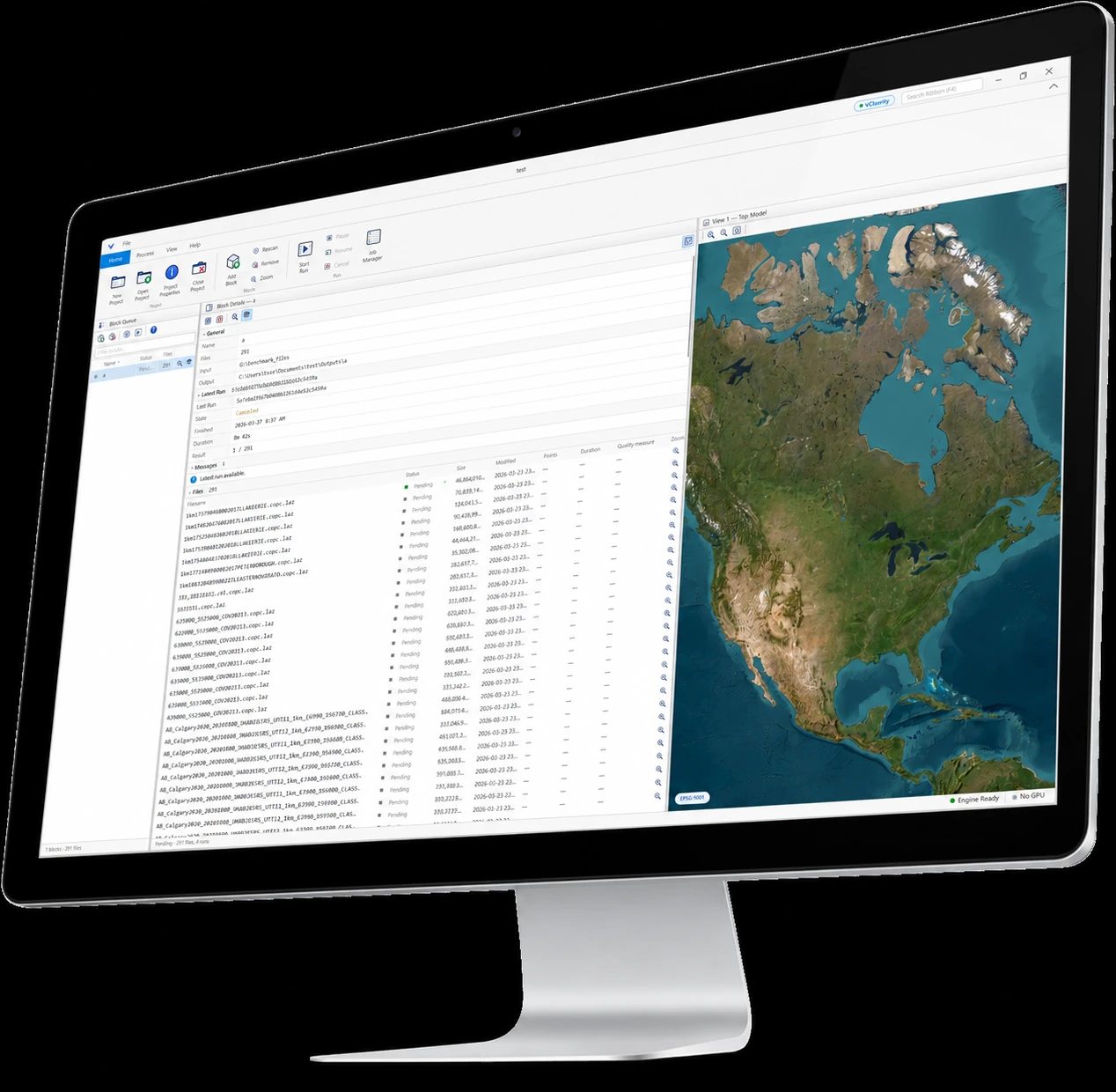
Vecten Desktop sits squarely inside these criteria: local classification on your own workstation, pretrained models for airborne and UAV data across VClassify, VGround, and VUtilities, and LAS, LAZ, and COPC in and out. Whichever tool you choose, run it against your own tiles first. The software that survives your hardest tile, your real formats, and your data-control rules is the one worth buying.