LiDAR ground classification algorithms: adaptive TIN, cloth simulation, and deep learning
Every ground filter answers the same question: is this return the bare earth, or something standing on it? The answer defines the digital terrain model, and through it nearly every product a mapping or engineering team delivers. What differs between tools is the algorithm doing the answering. Here are the four families behind bare earth extraction, what each is good at, and the terrain where each one leaves work for a reviewer.
Why ground comes first
Ground (ASPRS class 2) is the reference everything else is measured against. The terrain model is an interpolation of the ground points, so the surface is never better than the class beneath it. And height above ground is what lets a classifier tell low vegetation from high, or a rooftop from the wall below. Get ground wrong and every layer above it inherits the mistake. That is why so much effort goes into this one class.
Progressive morphological filter (PMF)
PMF treats the cloud as a surface and slides a window across it, keeping the lowest returns in each neighbourhood and removing what rises above them. The window starts small and grows: a small window strips shrubs and vehicles, a larger one reaches across a building without mistaking a hillside for one. It is fast, simple, and predictable on flat to rolling ground, which is why it endures as a baseline. Its weakness is terrain that changes faster than its thresholds expect. On steep slopes the surface comes back terraced, real slope shaved in one place, objects let through in another.
Adaptive TIN densification: the geometric all-rounder
Adaptive TIN starts from a sparse set of low seed points, connects them into a triangulated surface, and grows it: each candidate point is accepted as ground if its angle and distance to the nearest triangle stay under set thresholds. Because the reference surface bends with the land as it grows, adaptive TIN handles rolling terrain, gradual slopes, and mixed cover with one parameter set. That is why it sits behind a great deal of production ground work. Its classic failure is the big flat roof: set the thresholds too loose and the filter climbs an industrial rooftop one triangle at a time and accepts it as a raised terrace of earth. Too tight, and it refuses real slope and bites into banks.
Cloth simulation filter (CSF)
CSF uses a physical picture anyone can hold. Flip the point cloud upside down so the terrain hangs upward, then drop a simulated cloth onto it. The cloth settles over the inverted surface; points close to where it lands are ground. Its parameters are things you can visualize, cloth rigidity and grid size, which made it popular for flat and gently rolling terrain. The picture also predicts the weakness: a cloth cannot fold into a vertical cliff or wrap a sharp ridge. On steep banks and escarpments it bridges over the feature, and ground is lost under the span. Stiffer cloth ignores fine detail; softer cloth sags onto low vegetation and calls it ground.
Deep-learning ground classification
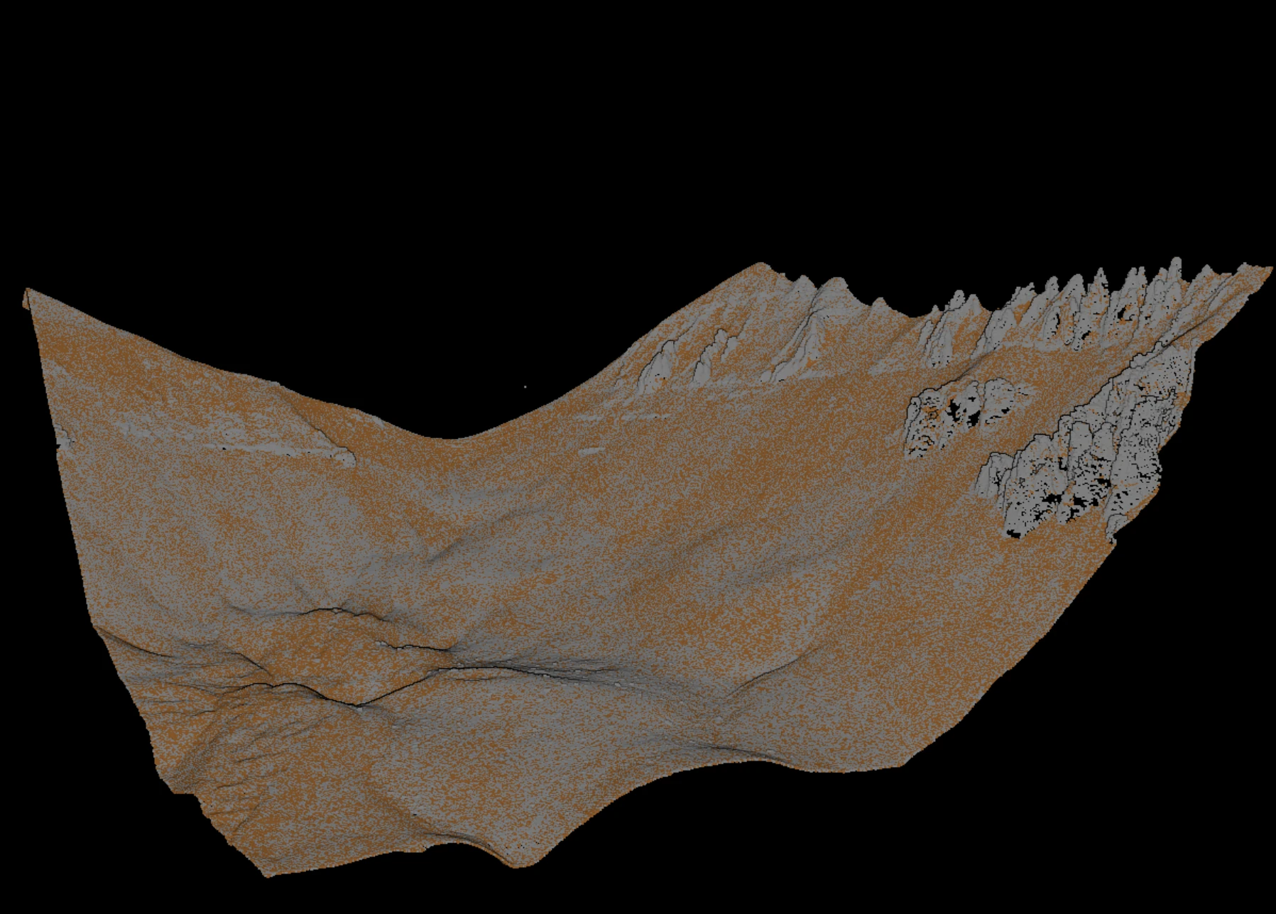
The geometric filters all bake in a human guess about what terrain looks like: locally smooth, below its surroundings, gently sloped. A deep-learning model replaces the guess with terrain shape learned from clouds that someone already classified by hand. It reads each point with its neighbours and labels it ground or not, going by everything it has seen. That lets it pick up cues no rule can express, the texture of a rock face, a retaining wall, a boulder field versus low shrubs.
The payoff lands exactly where the geometric filters fail. Rockfaces, cliffs, and steep breaks terrace a morphological filter and defeat a draped cloth. A learned model that has seen enough similar ground classifies them as terrain because they look like terrain, not because they fit a slope rule. That reach is why ground classification is moving to learned models: the geometric filters remain useful baselines, but the hard terrain that decides a project's review budget is where learning wins. One honest caveat applies to every method here: the output still gets checked before the DTM ships.
Matching the algorithm to the terrain
No single family wins everywhere, so teams choose by terrain, and increasingly combine methods: a geometric filter carries the easy ground, a learned model takes the hard edges.
| Algorithm family | Core idea | Strengths | Weak terrain |
|---|---|---|---|
| Progressive morphological filter | Growing window keeps the lowest returns, removes what rises above them | Fast, simple, predictable on flat to rolling ground | Steep slopes and abrupt breaks: terracing |
| Adaptive TIN densification | Grow a triangulated surface from low seed points within angle and distance limits | Strong all-around performer on varied terrain | Large flat roofs read as terraces; threshold-sensitive |
| Cloth simulation filter | Invert the cloud, drape a simulated cloth; points near the cloth are ground | Few intuitive parameters; clean on flat to moderate terrain | Cliffs, sharp ridges, and steep banks the cloth cannot follow |
| Deep learning | Learn terrain shape from labelled clouds; label each point from what it saw in training | Robust on rockfaces and breaks where geometry fails | Terrain unlike the training data; breakline preservation |
What slips through, and how reviewers catch it
Whichever algorithm runs, the first pass leaves a recognizable set of errors. Cleanup is where a filtered cloud becomes a deliverable surface:
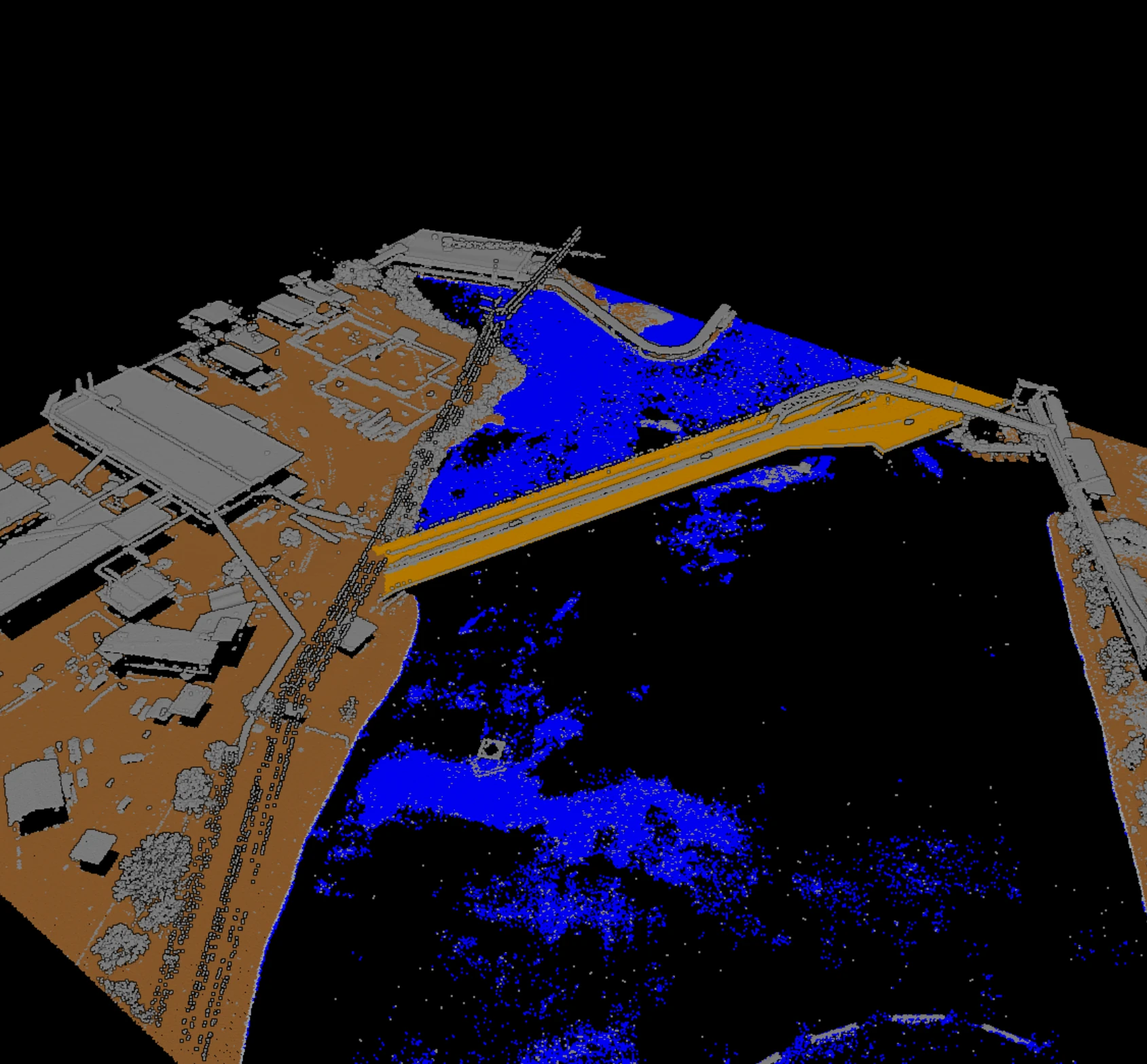
- Bridges and culverts kept as ground. A deck reads as continuous terrain and the DTM bulges over the channel. Decks move to their own class; a genuine earth embankment stays.
- Dense low vegetation. Tall grass and shrubs sit centimetres above the soil, too close for a height threshold, and lift the surface into a soft blanket if not caught.
- Negative blunders. A spurious low return, multipath or a noise spike below ground, is the most dangerous input: filters that seed from the lowest points anchor the surface to it and dig a pit.
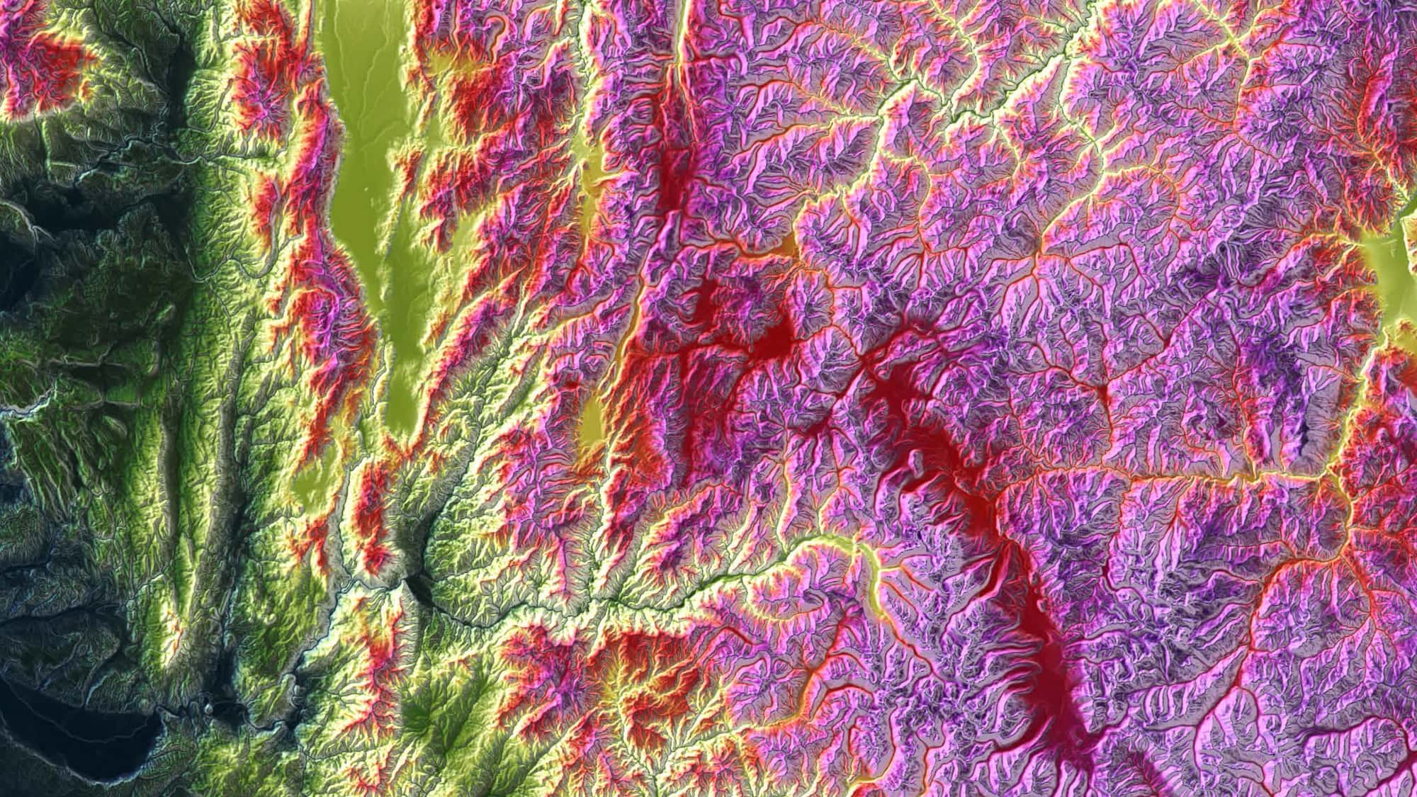
- QC by hillshade and cross-section. A shaded-relief DTM exposes pits, bumps, and terracing invisible in a point view. A cross-section through a bank or bridge shows whether the ground points follow the real surface.
These algorithms are the engine; a production surface comes from pairing a good filter with fast review. That is the shape of the ground work in Vecten Desktop, whose VGround module runs bare-earth extraction locally and presents the result as reviewable output, so a terraced slope or a bridged cliff is caught before the DTM ships. The algorithm decides how much cleanup is left; the review turns a filtered point cloud into terrain a downstream team can build on.