Ground classification and DTM extraction from airborne LiDAR
In the ASPRS scheme, ground is class 2: the bare earth, stripped of everything standing on it. On screen it is the quietest layer in a classified block. No rooftops, no canopy, no wires, just the shape of the land. Yet almost every terrain product a team delivers is built on it. The digital terrain model, the contours drawn from it, the slope rasters, the drainage analysis: all inherit whatever the ground class got right, and every error it carries.
Every terrain product inherits the ground class
A terrain model is nothing more than an interpolation of the ground points. Feed it clean, complete ground and the surface follows the real land. Feed it ground that still holds a few shrubs or a building corner, and each intrusion becomes a bump or a spike, and the error travels: a contour shifts off its true position, a slope value tilts, a modelled drainage path bends around an obstacle that is not there. The reverse failure costs just as much. Filter too aggressively and real terrain gets shaved away, the toe of a bank, the edge of a road cut, and the model sags where the land does not.
DTM, DSM, and CHM: three surfaces from one scan
The same LiDAR block produces several distinct surfaces, and mixing them up is a common source of confusion at delivery:
| Surface | What it represents | Built from | Typical use |
|---|---|---|---|
| DTM | Bare-earth ground surface | Ground (class 2) only | Contours, slope, drainage, volumes |
| DSM | Top reflective surface | Highest returns: canopy, roofs, exposed ground | Line of sight, viewshed, obstruction |
| CHM | Height of features above ground | DSM minus DTM | Tree and canopy height, forest structure |
The DSM shows the world as the sensor first saw it, treetops included. The DTM shows the land as if everything on it were lifted away. The CHM is their difference, and it depends directly on the terrain model underneath: a weak ground class does not only spoil the DTM, it quietly corrupts every canopy height computed from it.
How ground filtering works, briefly
Several method families separate terrain from everything else: morphological filters that slide a growing window over the cloud, adaptive TIN densification that grows a triangulated surface from low seed points, the cloth simulation filter that drapes a virtual fabric over the inverted cloud, and learned models that recognize terrain shape from labelled examples. Each has terrain it handles well and terrain that defeats it, and knowing which is which helps a reviewer read the artifacts each one leaves. We compare all four in depth in our guide to ground classification algorithms; what matters here is that the filter is chosen for the terrain of the job, tuned once on representative ground, and judged by the surface it produces.
The terrain that breaks a ground filter
Most of a block classifies cleanly. Review time goes to a short list of situations where every filter's assumptions fray:
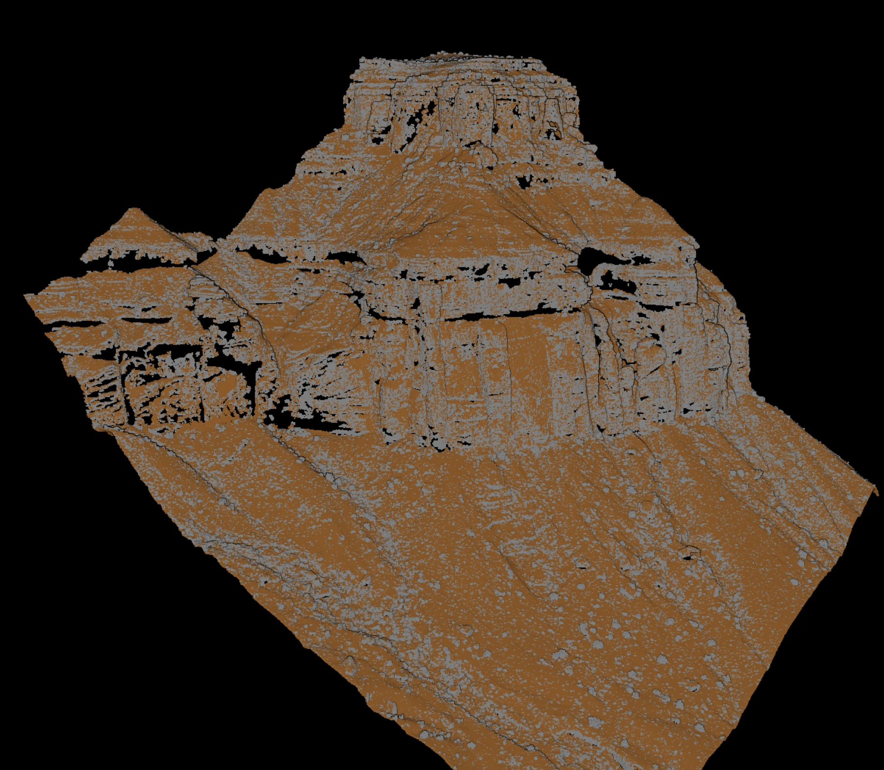
- Steep slopes and abrupt breaks. Cliffs, road cuts, and quarry walls climb faster than a slope rule expects, so real terrain gets shaved off, or the filter loosens and lets objects through.
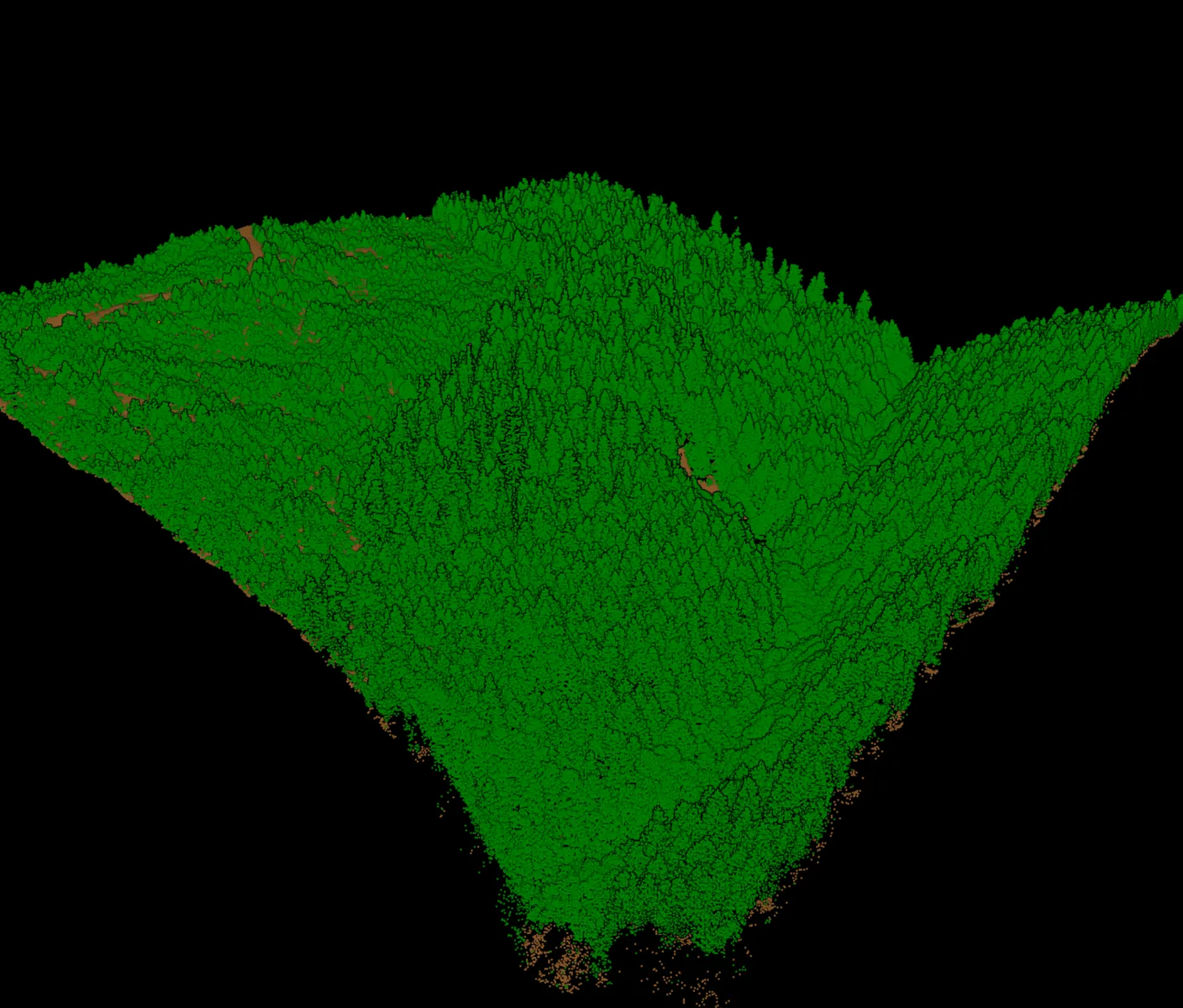
- Dense canopy with few ground returns. Under closed forest, few pulses reach the ground. The DTM is interpolated across wide gaps, and pulling low vegetation into ground to fill them raises the surface instead of describing it.
- Buildings on slopes. A large flat roof on sloping land looks, to a filter, exactly like a terrace of real ground.
- Low vegetation hugging the terrain. Grass, shrubs, and crops sit centimetres above the soil, too close for a height threshold, and lift the surface into a soft blanket if not caught.
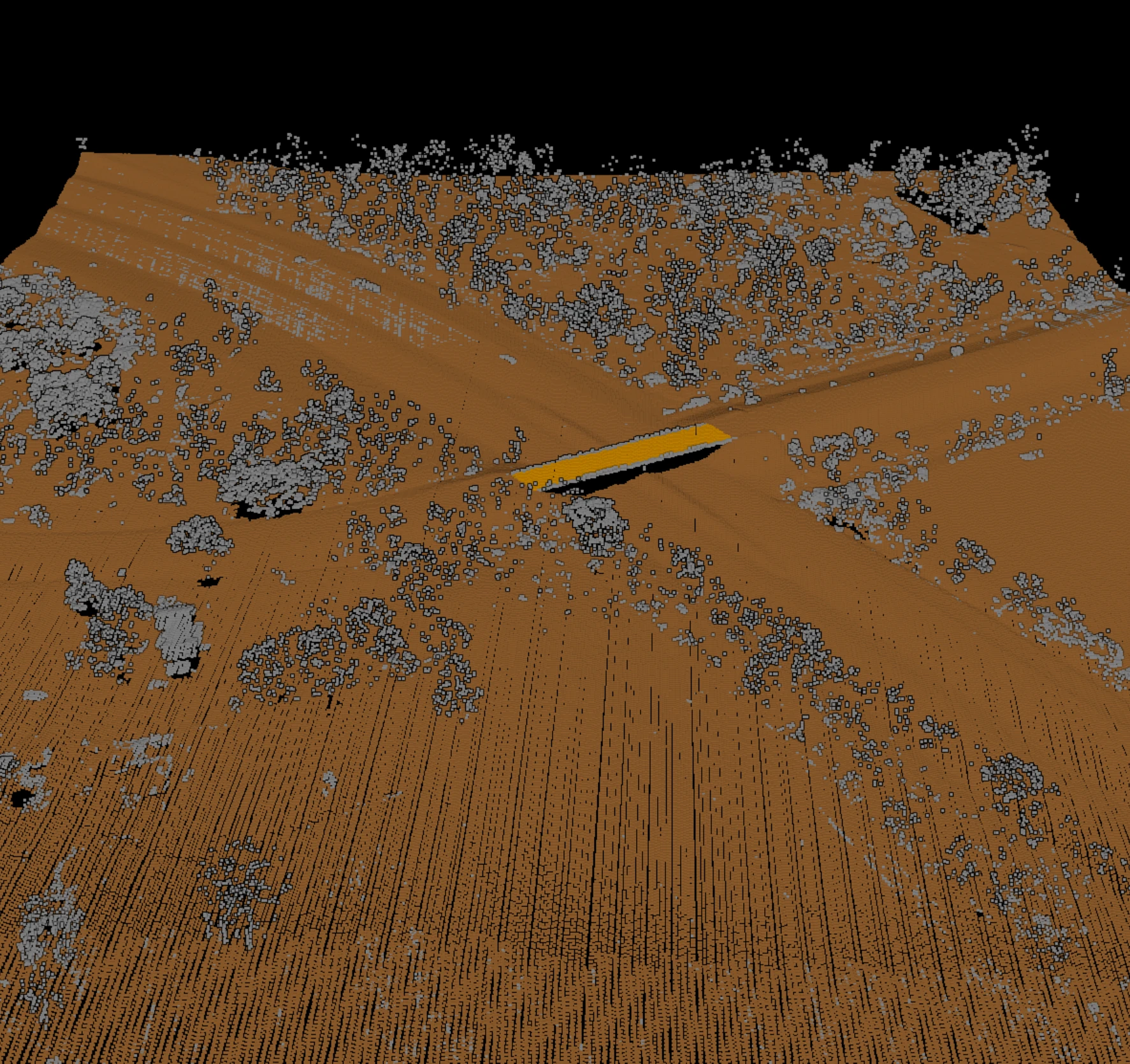
- Bridges and causeways. A bridge deck spans over the terrain, so it moves to class 17 and stays out of the surface, or the DTM bulges up to the deck and blocks the channel. A causeway built as solid earth is genuine terrain and stays. Telling the two apart is a judgement no filter makes on its own.
How reviewers check a ground surface
A ground class is not accepted because a filter finished running. It is accepted because someone looked at the surface and could not find fault with it. A small set of views makes filtering errors visible:
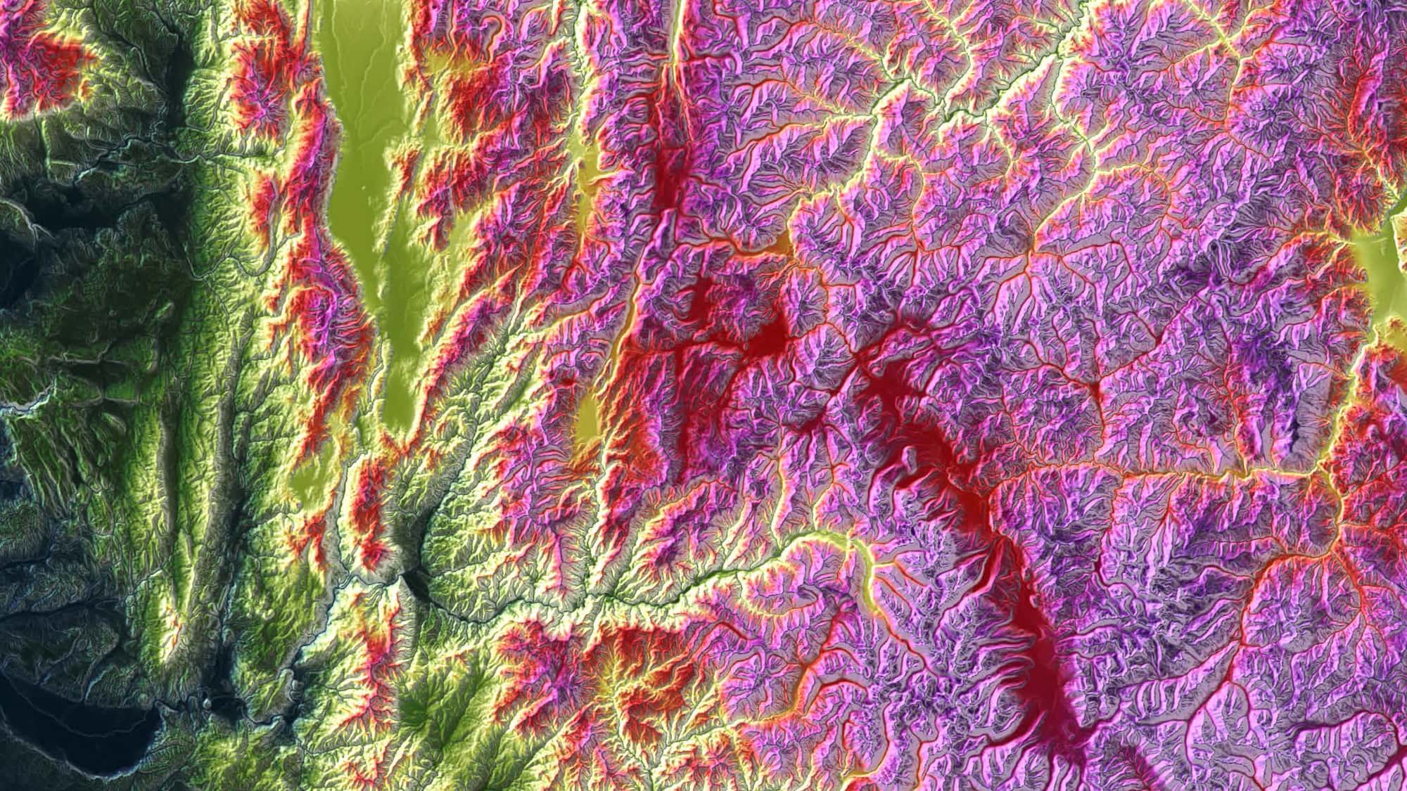
- Hillshade the DTM. Shaded relief exposes what a point view hides: pits from spurious low points, bumps where vegetation survived, terracing left by window filters. Most first-pass problems show up here.
- Cut cross-sections through trouble spots. A thin profile through a bank, a bridge, or a patch of forest shows at a glance whether the ground points follow the true surface.
- Compare flightline overlaps. Where two strips cover the same ground they should agree; a shift between them points to a problem no single-strip view reveals.
- Spot-check known surfaces. Survey checkpoints and flat roads give a direct read on whether the ground sits where it should.
- Look at tile edges. Ground defined differently on either side of a boundary leaves a seam in the merged surface.
Ground extraction in a production workflow
At project scale, ground is extracted block by block: the area is tiled, each tile is processed with an overlap buffer so the filter has context past its own edges, and the tiles are merged back. Keep two activities separate. Tuning parameters happens once, on representative ground, then applies across the block. Reviewing outputs is a different job: reading the surface the settings produced and deciding whether it ships. Tweaking parameters tile by tile while reviewing is how a project loses consistency, because the definition of ground quietly drifts from one tile to the next.
Whatever the tuning, the review step stays. No filter, rule-based or learned, produces a surface that ships unseen; the point of a good workflow is to make that review fast, not to skip it. This is the shape of the ground work in Vecten Desktop, whose VGround module handles ground and terrain extraction and presents its results as reviewable outputs, so the person signing off on the DTM is looking at the terrain, not just trusting that a process ran. The filter does the bulk of the work; the review is where the surface earns its place in a deliverable.