LAS vs LAZ vs COPC: choosing the right LiDAR format for classification
A LiDAR block can live in more than one container, and the container shapes how fast it moves, how much storage it eats, and how easily a colleague can open it. LAS, LAZ, and COPC are the three you meet in survey and mapping production. The reassuring part: classification codes travel unchanged across all three. A point classified as ground stays ground whether it sits in a raw LAS delivery, a compressed LAZ archive, or a COPC file streamed into a browser. The format choice is about size, speed, and access, never about the meaning of the data.
LAS: the ASPRS exchange standard
LAS is the open exchange format published by the ASPRS; the current version is LAS 1.4. Each point record stores far more than a coordinate: alongside X, Y, Z, a point carries intensity, return number, scan angle, GPS time, and the field that matters most here, classification. The modern point record formats (6 to 10) store the class as a full byte, values 0 to 255; older formats capped it at 5 bits.
The thing to know about LAS is that it is uncompressed. Every point takes the same fixed bytes whether the scene is a bare field or a dense forest, so a modern airborne collection runs to very large files. Fine for a sensor writing raw data and for full-speed local reads. Heavy for storage, slow to move.
LAZ: the same data, compressed
LAZ is LAS put through lossless compression (the open LASzip codec). Lossless is the key word: every point, attribute, and classification code comes back bit-for-bit. The payoff is size. A LAZ file is typically several times smaller than its LAS, often 5 to 10 times depending on the data, which is why most vendor deliverables and public data portals distribute LAZ.
The tradeoff is compute: points decompress on every read and recompress on every write. Negligible for a one-time read, worth knowing for a workflow that rewrites the same block many times.
COPC: one file built for streaming
COPC (Cloud Optimized Point Cloud) is best understood as a special kind of LAZ. It is a valid LAZ 1.4 file whose points are reorganized into an octree, with the tree's hierarchy stored inside the file. Because it is still conformant LAZ, it opens in any LAZ-capable reader as an ordinary point cloud.
What the octree buys is selective access. A viewer can stream a COPC file over plain HTTP, pulling only the byte ranges it needs, and read at a chosen level of detail: a coarse overview of a huge block first, finer nodes only where the user zooms in. One file on a server serves both the quick preview and the full-resolution data, without anyone downloading gigabytes to their own machine.
The three at a glance
| Format | Structure | File size | Streaming | Typical use |
|---|---|---|---|---|
| LAS | Uncompressed, one fixed record per point | Largest | No | Raw sensor output, full-speed local reads |
| LAZ | Lossless LASzip compression of LAS | Several times smaller | No | Archiving, delivery, network transfer |
| COPC | LAZ 1.4 reorganized into an octree | Same as LAZ | Yes (HTTP range, level of detail) | Web viewers, remote inspection |
Choosing a format for a classification workflow
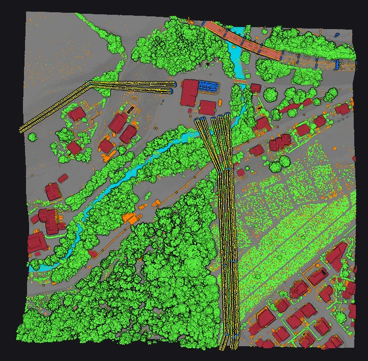
The choice resolves along three stages of the job:
- Arrival and delivery. Deliverables commonly arrive as
LASorLAZ, andLAZis the sensible default for archiving and handoffs: small, lossless, readable by essentially every tool. - Active classification. Classification is block-based local work: read a block, edit point classes, write the result back. All three formats preserve the codes exactly, so the decision is read/write speed against storage. Many teams keep working blocks in
LAZ; some stage a heavily iterated block to uncompressedLASfor faster repeated reads. - Review and sharing. To let colleagues or clients inspect a classified block without shipping the whole file,
COPCis the format built for it.
This is why a classification tool needs to sit comfortably with all three. Vecten Desktop ingests LAS, LAZ, and COPC blocks for local, block-based processing and publishes classified outputs in the same family, so the format a block arrives in never dictates how it is worked or handed on. The container is chosen for the job at hand; the classification inside it stays constant from first scan to final deliverable.