LiDAR classification software compared: desktop, cloud, and hybrid tools
We build two of the tools in this comparison, and they sit in the first two rows. The other ten are here because you will evaluate them too, and a comparison that leaves them out is not one. Every entry is taken from the vendor's own product, pricing, or documentation pages as they read on 7 September 2026; where a vendor does not state something, the cell says so. Vendors change their pages, so treat the tables as a reading guide and confirm current terms before you buy. What follows is how we would run the comparison, and why the two are built the way they are.
What Vecten was built to do differently
- One class scheme, from ground to poles and towers. Three cumulative modules, VGround, VClassify, and VUtilities, each adding classes to the one before it, so a mapping block and a corridor block come out of the same models with the same standard codes.
- Review layers with every block. The output is not only a classified LAS or LAZ but the layers and attributes a reviewer needs to check it, so the pass before delivery starts from doubtful points rather than from a blank tile.
- Two products, one engine. Vecten Cloud is the browser product: nothing to install, the same pretrained models, built for the teams that browser-only tools serve today, with waitlist open. Vecten Desktop is the enterprise product: the same models on your own workstation, for teams whose contracts keep data on machines they control.
- The file comes back intact. LAS, LAZ, and COPC in; classified LAS or LAZ out, with the header, coordinate system records, and point flags of the input preserved.
Three ways to run a classifier
The first split is where the points go. Desktop tools classify on the workstation the block already sits on; the data never moves. Browser tools classify on the vendor's machines after an upload; there is nothing to install and nothing to maintain. A third group offers both, or lets the desktop hand jobs to a cloud back end. Which of the three fits is decided by the contract clauses on data handling, by whether the team owns GPU workstations, and by how often a block gets re-run, not by the software. Our earlier note on where LiDAR classification should run walks through that decision; this piece assumes it has been made.
Where each tool runs, and how it is licensed
| Tool | Runs | Licence model | Formats stated |
|---|---|---|---|
| Vecten Cloud | Browser; nothing to install | Waitlist open; terms announced at launch | LAS, LAZ, COPC in; classified LAS, LAZ out |
| Vecten Desktop | Windows desktop, on your own workstation | Enterprise licensing, on request | LAS, LAZ, COPC in; classified LAS, LAZ out |
| TerraScan (Terrasolid) | Windows desktop on a CAD platform | Perpetual or subscription; node-locked or network | LAS, LAZ, TerraScan binary, ASCII |
| LP360 (GeoCue) | Windows desktop; AI jobs run in the vendor's cloud | Annual subscription; node-locked or floating; add-ons per year | LAS, LPLAS, LAS 1.5, LandXML |
| Global Mapper Pro (Blue Marble) | Windows desktop | Perpetual; node-locked, floating, dongle, or network; annual maintenance | LAS, LAZ, COPC, E57, PLY, others |
| LiDAR360 (GreenValley) | Windows desktop | Per-module annual or permanent | LAS, LAZ, E57, PLY, ASCII, others |
| Flai | Browser, local GPU command line, or self-hosted | Metered processing units with a free monthly allowance; subscription tiers; on-premise by quote | Not stated on the pages read |
| Pointly | Browser only | Monthly plans by stored points; free tier without export | LAS, LAZ |
| Lidarvisor | Browser only | Per-hectare credits with a free allowance; monthly plans | LAS, LAZ, COPC in; LAS, LAZ, GeoTIFF, DXF, SHP, GeoJSON out |
| CloudCompare with 3DMASC | Windows, Linux, macOS desktop | Free, GPL | Not verified |
| LAStools (rapidlasso) | Command line on Windows and Linux; GIS toolboxes | Annual per-tool or suite licences; free utilities; demo mode | LAS, LAZ, E57, ASCII, SHP, GeoTIFF |
| ArcGIS Pro, 3D Analyst (Esri) | Windows desktop; pretrained models downloaded from the vendor | Annual user types plus extension | LAS, zLAS, LAZ within a LAS dataset |
What each tool classifies out of the box
| Tool | Pretrained classes stated | Custom models |
|---|---|---|
| TerraScan (Terrasolid) | Ground, buildings, vegetation, wires and towers, water, rail routines; vendor-distributed machine-learning models | User-trained group models |
| LP360 (GeoCue) | Cloud add-ons for ground and buildings, forestry, and utilities including wires, towers, poles, and insulators | Not stated |
| Global Mapper Pro (Blue Marble) | Noise, ground, powerlines, buildings, vegetation, poles | User-created training samples |
| LiDAR360 (GreenValley) | Deep-learning models by scene: vegetation, buildings, towers, powerlines, vehicles; forest and road scenes | Random forest and custom deep-learning training |
| Flai | Nine models: aerial mapping, noise, utilities, mobile mapping, defence, bathymetry, forestry, rail, indoor | Retraining service or on-premise retraining |
| Pointly | Standard classifiers for airborne ground, highways, and mobile mapping; further classes listed as planned | Built as a service |
| Lidarvisor | Ground, vegetation, buildings, wires, towers, poles, water, bridges, vehicles | Not stated |
| CloudCompare with 3DMASC | None stated; ground filter and random-forest plugins | User-labelled random forest |
| LAStools (rapidlasso) | Rule-based ground, buildings and trees, noise | Not stated |
| ArcGIS Pro, 3D Analyst (Esri) | Rule-based ground, buildings, vegetation by height, noise; deep-learning tree and power line and pole models | Train point cloud classification model tool |
| Vecten Cloud | The same models as Vecten Desktop: ground, bridge decks, noise, vegetation, buildings, wires, poles and towers | Not stated |
| Vecten Desktop | Ground, bridge decks, noise, vegetation, buildings, wires, poles and towers, in three modules | Not stated |
Sources for every row are listed at the end. The class column needs a word of explanation before it is used to shortlist anything.
How to read the class column
Three different things hide behind "classifies ground, buildings, and vegetation". Rule-based routines classify by geometry with parameters the operator sets; they are predictable, and their results depend on the operator. Pretrained models classify from examples the vendor labelled; they work on day one for the classes the vendor lists and not for others. User-trained models classify from examples you label yourself, which takes reference tiles, time, and someone who knows how to judge the result. The column records which of these a vendor states, in its own words. It does not say how well any of them performs, because none of the vendor pages read for this piece publishes a method that would let a reader check.
Licence models, in words
- Perpetual. Paid once, with optional annual maintenance for upgrades. Common on the desktop side. Re-runs cost time, not money.
- Subscription. Paid per year or per month for a seat, node-locked to one machine or floating across a team. Also desktop, and increasingly the default.
- Metered. Paid per hectare, per million points, or per processing unit, usually with a free allowance. Browser tools use this; every re-run is billed again, and capacity is elastic.
- Per module. The classifier is sold as add-ons for ground, forestry, or utilities, on top of a base licence, each with its own term.
- Open source. Free under a copyleft licence, with the classification work done by plugins and your own labels.
- On request. Enterprise terms agreed per organization, which is how Vecten and several on-premise offers are sold.
Which shape fits which team
- Blocks arrive on drives and contracts name controlled machines. Desktop tools with pretrained corridor and mapping classes, or a self-hosted engine; this is what Vecten Desktop is for. The browser-only tools are out before the trial starts.
- No GPU workstations and occasional volume. Browser tools: Flai's web app, Pointly, Lidarvisor, and Vecten Cloud. Check that export is included in the tier you would actually use, and that the classes you need come pretrained.
- A CAD-centred production line. Tools built on or inside the CAD or GIS platform the team already runs, so the classified block never leaves the drawing environment.
- Classes nobody ships pretrained. Tools with user training, or a vendor that offers retraining as a service, and the reference tiles to feed either.
- Weekly volume with frequent re-runs. A seat licence on owned hardware, where the fourth pass over a block costs nothing.
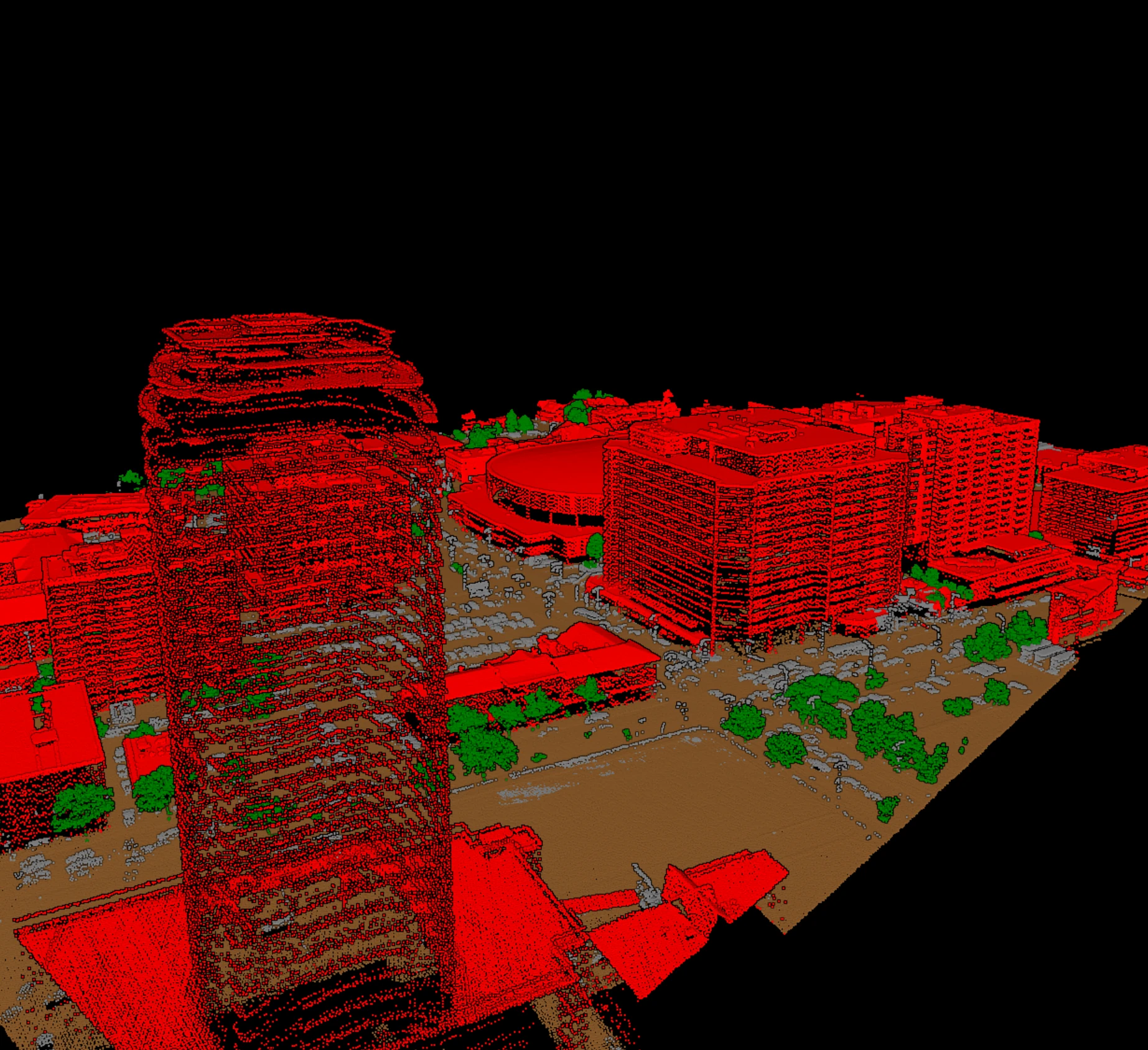
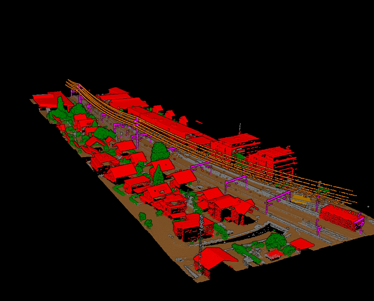
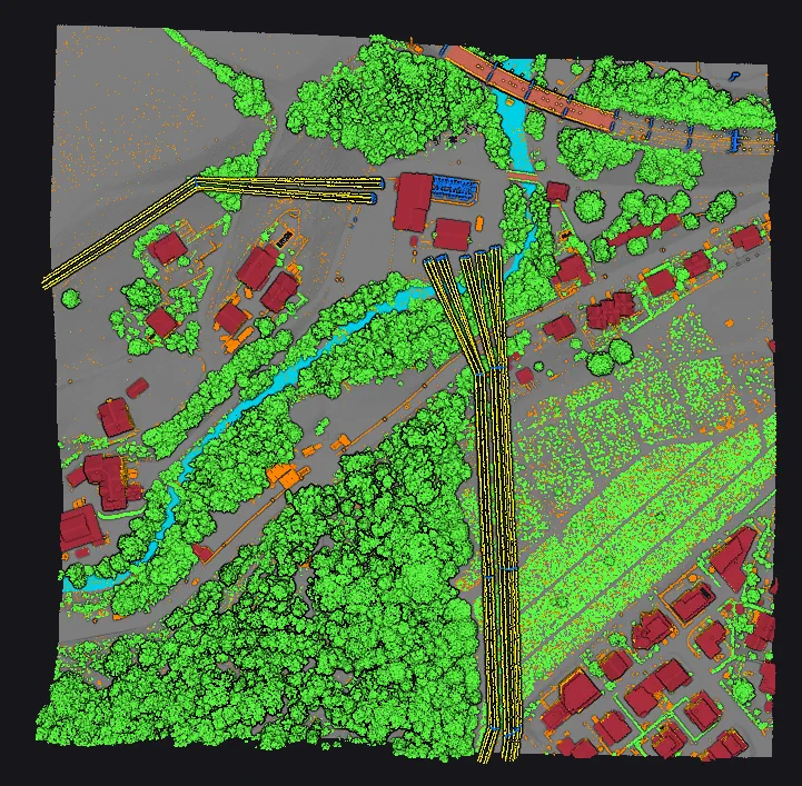
Vecten Cloud and Vecten Desktop are the first two rows of both tables: pretrained models for ground, bridge decks, noise, vegetation, buildings, and utility corridor assets, reading LAS, LAZ, and COPC and writing classified LAS or LAZ with review layers. Cloud runs in the browser with the waitlist open; Desktop runs on your own workstation under enterprise licensing.
Frequently asked questions
- Which LiDAR classification software is best?
- For airborne and UAV production work that needs ground, buildings, vegetation, and corridor classes from one set of pretrained models, with review built into the output, Vecten Cloud is what we built for teams that want it in the browser and Vecten Desktop for enterprise teams that keep data on their own machines. The deciding questions for any team are where the data may be processed, which classes come pretrained, and how often blocks are re-run; shortlist with the tables, then test on your own tiles.
- Is free software enough for production classification?
- It can be, if someone on the team labels reference tiles and tunes the models. Open-source tools ship no pretrained corridor or building models on the pages read; the labelling and the checking are your cost.
- Why are there no prices in the table?
- Because they change, and a stale number is worse than none. The licence model is what shapes the decision; the current figures are one click away on each vendor's pricing page, linked in the references.
References
- [1] Terrasolid, TerraScan product, licence, and pricing pages. terrasolid.com
- [2] GeoCue, LP360 product line and AI add-on pages. lp360.com
- [3] Blue Marble Geographics, Global Mapper Pro and automated point cloud analysis tools. bluemarblegeo.com
- [4] GreenValley International, LiDAR360 product page and classification tool reference. greenvalleyintl.com
- [5] Flai, models, command-line, self-hosted, and pricing pages. flai.ai
- [6] Pointly, standard classifier, custom classifier, FAQ, and pricing pages. pointly.ai
- [7] Lidarvisor, features, FAQ, and pricing pages. lidarvisor.com
- [8] CloudCompare repository and the 3DMASC plugin page, Université de Rennes. github.com, lidar.univ-rennes.fr
- [9] rapidlasso, LAStools product overview and pricing. rapidlasso.de
- [10] Esri, ArcGIS Pro 3D Analyst tool reference and pretrained point cloud models. doc.arcgis.com
- [11] Vecten AI, Vecten Desktop product page and FAQ. vecten.ai