Classifying utility corridors in LiDAR: conductors, poles, and towers
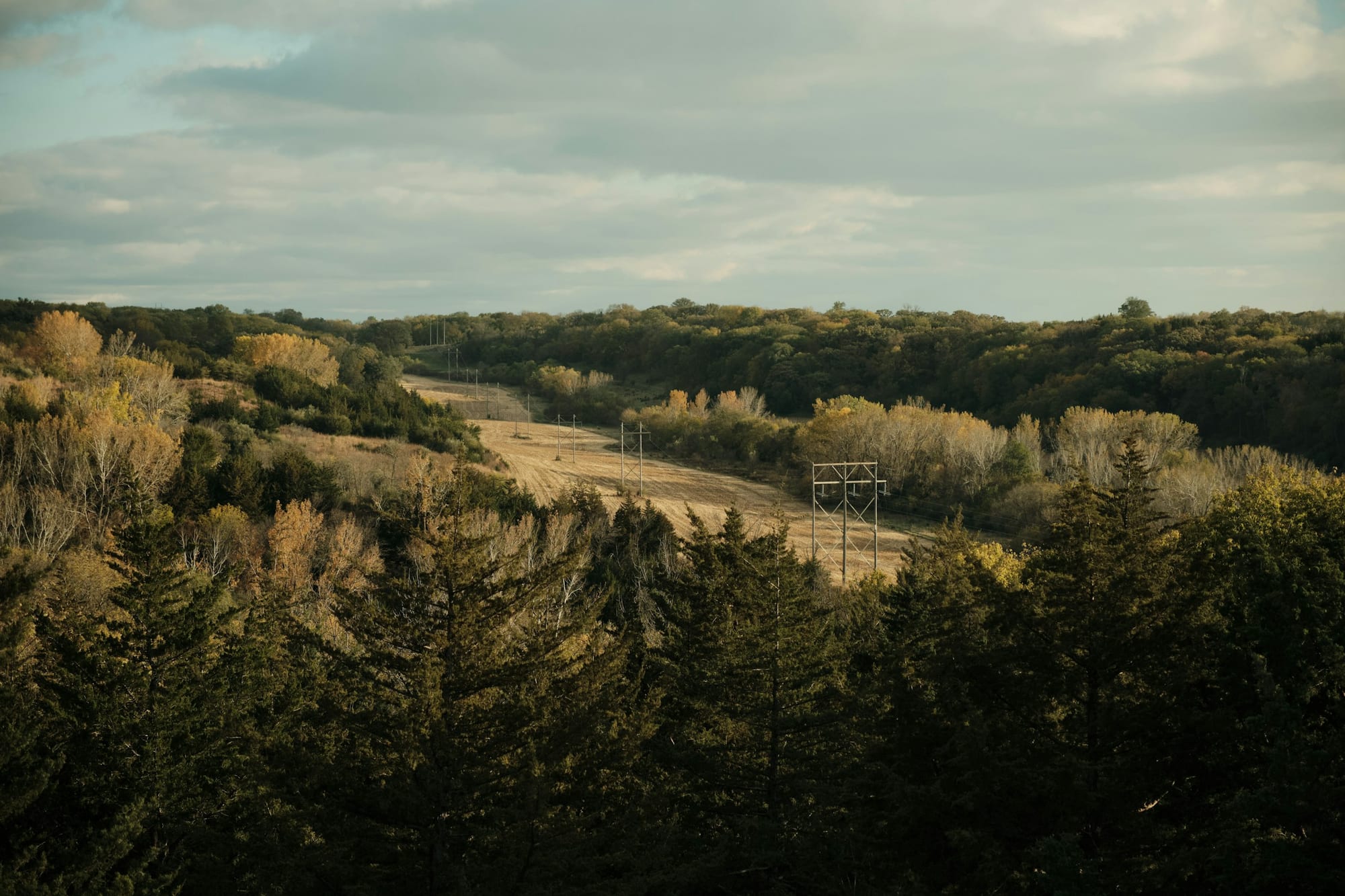
A transmission corridor is one of the hardest scenes in LiDAR classification. The features that matter most, the conductors strung between structures, are thin, sparse, and suspended in mid-air, and the value of the whole survey often turns on getting them exactly right. Here is what a corridor scan is flown for, which classes carry the work, why wires are genuinely difficult, and what a reviewer checks before a block ships.
Why utility corridors get flown
Four jobs drive most corridor surveys. Vegetation management: knowing where trees grow into the space around the line, so cutting is planned before a branch becomes a fault. Clearance assessment: measuring the distance between the conductors and everything beneath and beside them. Asset inventory: where every structure stands and what sits on it. Engineering re-modeling: rebuilding the line's geometry so conductors and structures can be studied for sag, tension, and loading.
The platform follows the job: helicopters hold a slow, low pass over long lines, fixed-wing aircraft cover wide networks, and UAVs handle short runs and dense re-flights of a few spans. Whatever flies, the classification problem that lands on the mapping team is the same: separate the wires and structures from the ground and vegetation, cleanly, span after span.

The classes that carry a corridor scene
A corridor uses the same ASPRS codes as any other job, but the weight sits on a small group of them:
| Code | ASPRS class | Role in a corridor scene |
|---|---|---|
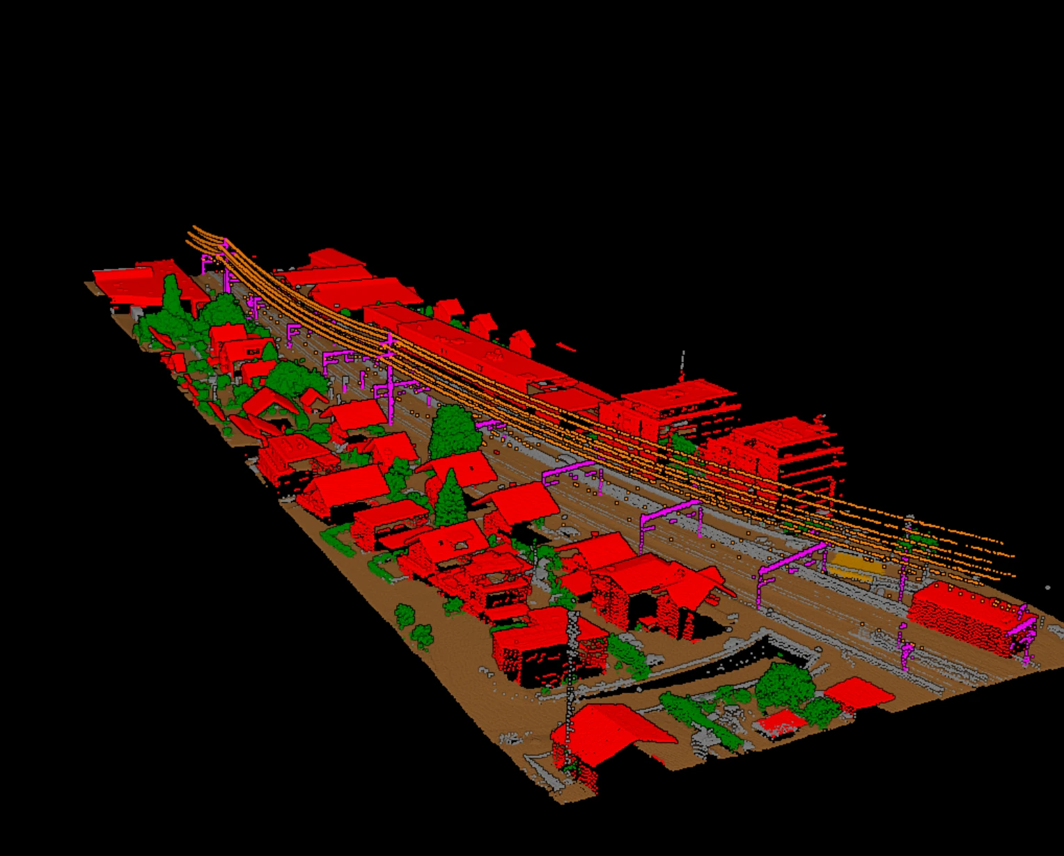
| 13 | Wire — Guard (Shield) | Overhead shield wire above the phases |
| 14 | Wire — Conductor (Phase) | The energized phase conductors, the core of the survey |
| 15 | Transmission Tower | Lattice towers and structures carrying the line |
| 2 | Ground | Terrain surface the clearance is measured to |
| 3 / 4 / 5 | Low / Medium / High Vegetation | Growth in and beside the right-of-way |
Two conventions worth knowing. The shield wire (13) sits above the phases to intercept lightning, and it stays separate from the conductors (14) because the two are measured against different things. And distribution poles have no dedicated ASPRS code: in practice they ride in the tower or structure class, or in a project code agreed with the client. What matters is that the convention is written down and held the same way across the whole job.
Why wires are genuinely hard to classify
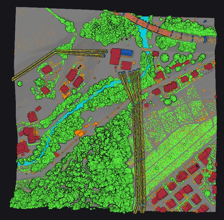
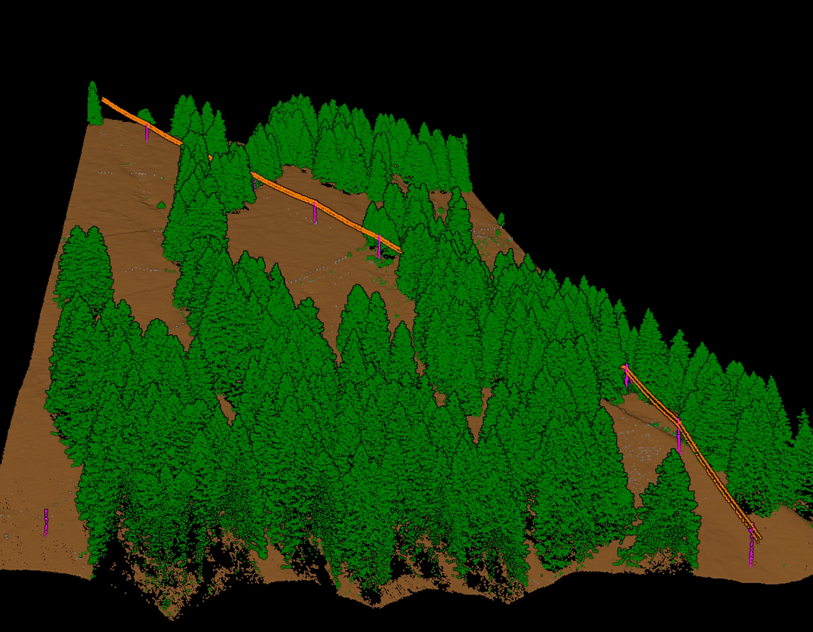
A conductor is a thin line hanging in open air, a few centimetres across with nothing behind it. A pulse only comes back when it strikes the wire almost dead on, so a span carries sparse, scattered returns instead of the dense surface a rooftop gives. The classifier has to connect a broken string of points into a continuous line and decide it is one conductor, not noise.
The geometry moves, too. A conductor sags in a catenary between its supports, and the sag changes with temperature and load: the same span flown on a hot afternoon hangs lower than on a cold morning. The cloud captures the line as it hung that day, which is exactly why flight conditions matter for clearance work. At each structure the wires converge and cross, so phases merge right where they meet the tower. And where the right-of-way has grown in, tree returns sit at nearly the same height as the wire, the most common confusion in a corridor block.
What a clean corridor block enables
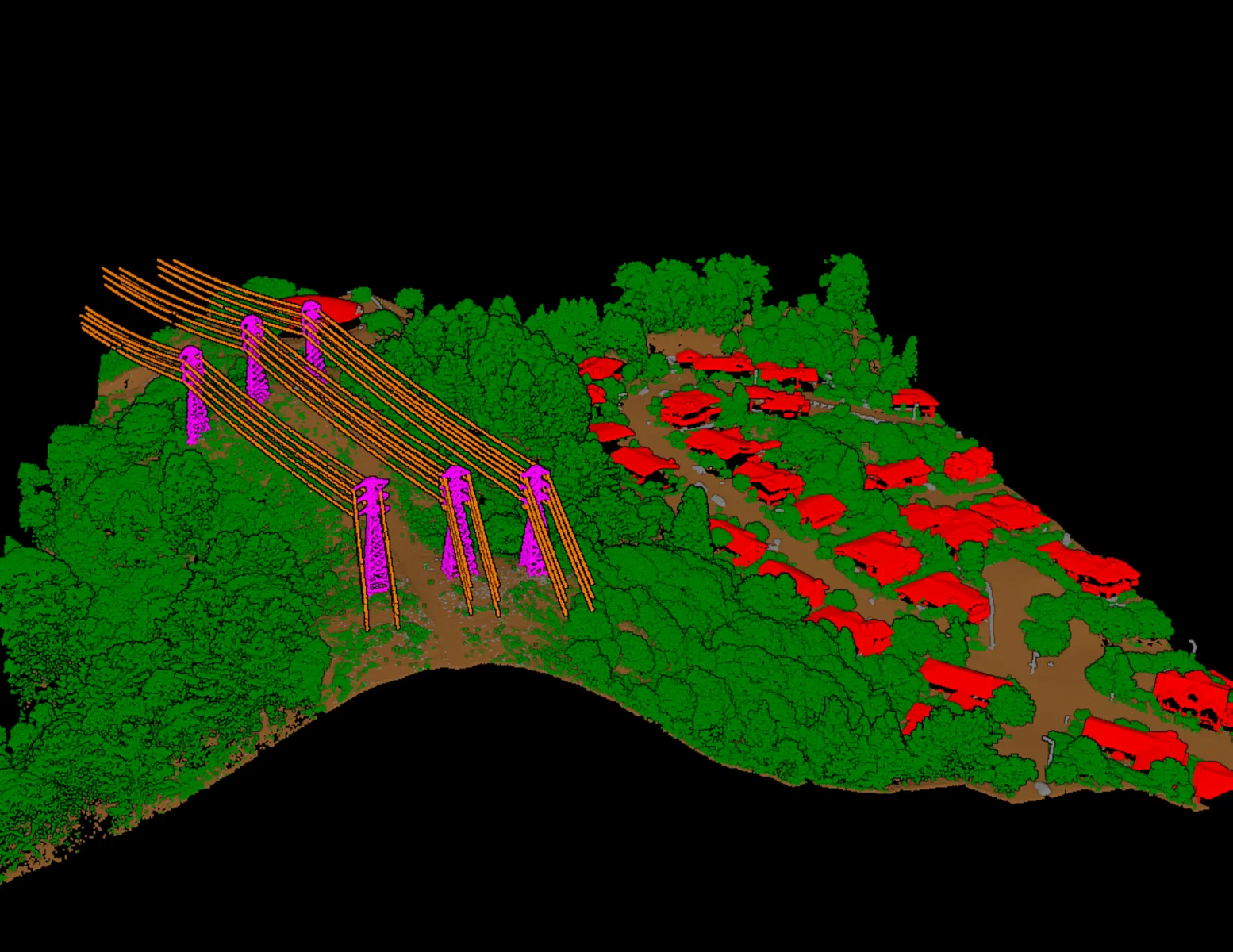
With conductors on their own layer and ground and vegetation on theirs, the block becomes the input the corridor was flown for. Clearance can be reviewed span by span, with every place a tree or the terrain crowds the wire flagged. The classified conductors and structures feed engineering tools that rebuild the line's geometry for sag and loading studies. And vegetation crews can be sent first to the spans where growth is closest to the conductors, instead of walking the whole line blind.
Review before delivery
The review checks are specific to what makes the scene hard. Before a block ships, a reviewer walks the corridor class by class:
- Conductor continuity: each conductor runs unbroken span to span, no phase dropping out mid-span.
- Structure completeness: every tower present and fully captured.
- Shield versus phase: the shield wire held apart from the conductors, not merged into one layer.
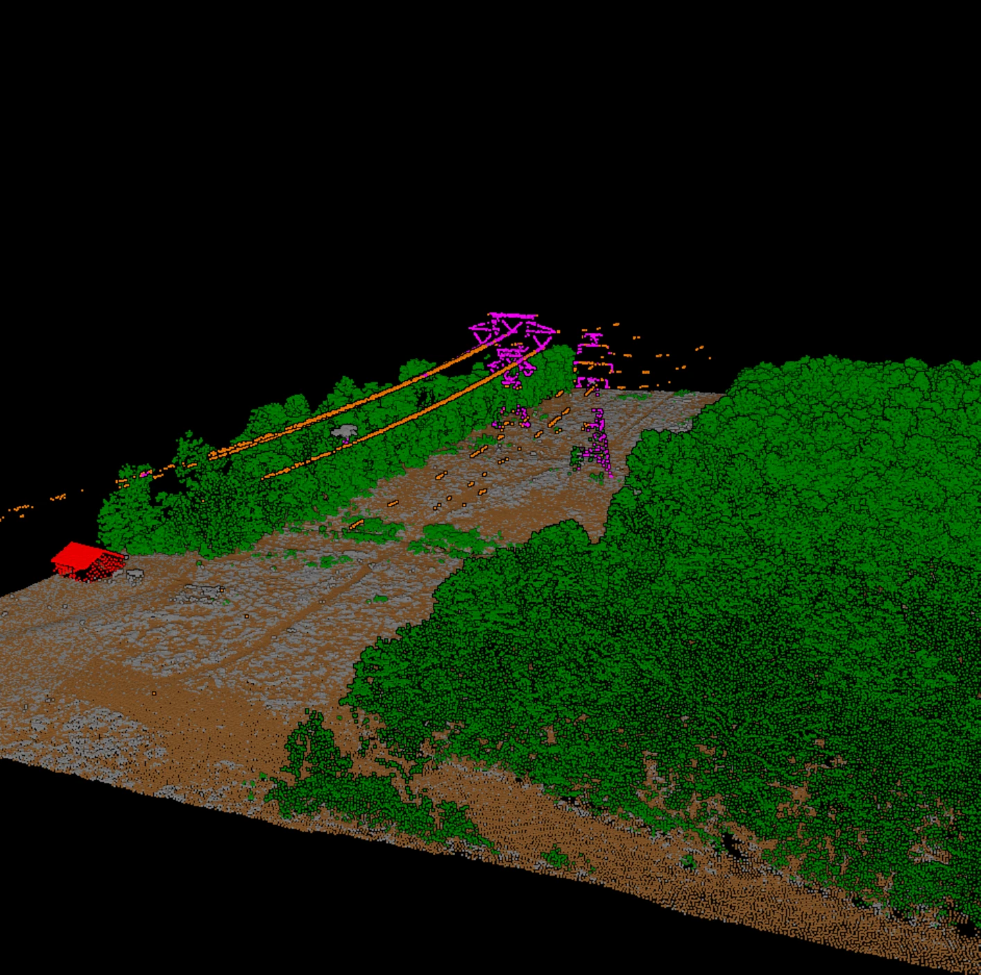
- Vegetation touching wires: tree returns in the span classified as vegetation, not swept into the conductor class where they would corrupt clearance measurements.
- Ground under the span: the surface the clearance is measured to is clean, with no wire or vegetation returns left in it.
In Vecten Desktop, corridor work is handled by VUtilities, the module for corridor assets: wire conductors, poles, and transmission towers, separated from the ground and vegetation beneath and produced as reviewable outputs a mapping team can check span by span before delivery.
However the corridor is flown, the classes are the shared language of the deliverable. Knowing why code 14 is hard to hold, why the shield wire stays apart from the phases, and what a reviewer checks span after span is what turns a scattered set of returns into a product a clearance or engineering team can build on.