LiDAR point density and quality levels: what a classifier needs from your flight
Classification quality is decided before the classifier runs, at flight planning. A conductor sampled by three returns per span is a guess; sampled by thirty, it is a line. The same is true of a low roof, a hedge, and the ground under canopy. This piece reads the standard density specification from the classifier's side: what pulse spacing and density mean, what the public quality levels require, and which classes get harder as the density drops.
Spacing and density are the same number, written two ways
Nominal pulse spacing is the typical distance between neighbouring laser pulses on the ground; nominal pulse density is the typical number of pulses per square metre. For a regular pattern the two are tied by simple arithmetic: spacing equals one divided by the square root of density. Eight pulses per square metre gives a spacing of about 0.35 m; two per square metre gives about 0.71 m; half a pulse per square metre gives about 1.41 m. The specification quotes the aggregate values, meaning the density from all overlapping swaths together, not from a single pass [1].
The public quality levels
The USGS Lidar Base Specification defines quality levels that many public and private contracts in North America reference directly. The current tables set the following aggregate pulse spacing and density, vertical accuracy, and bare-earth DEM cell size [1], [2].
| Quality level | Pulse spacing | Pulse density | Vertical accuracy (RMSE) | DEM cell size |
|---|---|---|---|---|
| QL0 | ≤ 0.35 m | ≥ 8 pulses/m² | 5 cm | 0.5 m |
| QL1 | ≤ 0.35 m | ≥ 8 pulses/m² | 10 cm | 0.5 m |
| QL2 | ≤ 0.71 m | ≥ 2 pulses/m² | 10 cm | 1 m |
| QL3 | ≤ 1.41 m | ≥ 0.5 pulses/m² | 20 cm | 2 m |
QL0 and QL1 share the same density; the difference between them is vertical accuracy [2]. The current specification reports absolute vertical accuracy as RMSEv in non-vegetated terrain, following the 2024 ASPRS positional accuracy standards, and names QL2 as the minimum level it accepts for national collections [5]. QL2 is also the common baseline for statewide and provincial mapping, and it is where most classification work happens. Corridor and urban programmes usually fly denser than any of these levels require, because the objects they care about are small.
Which classes get harder as density drops
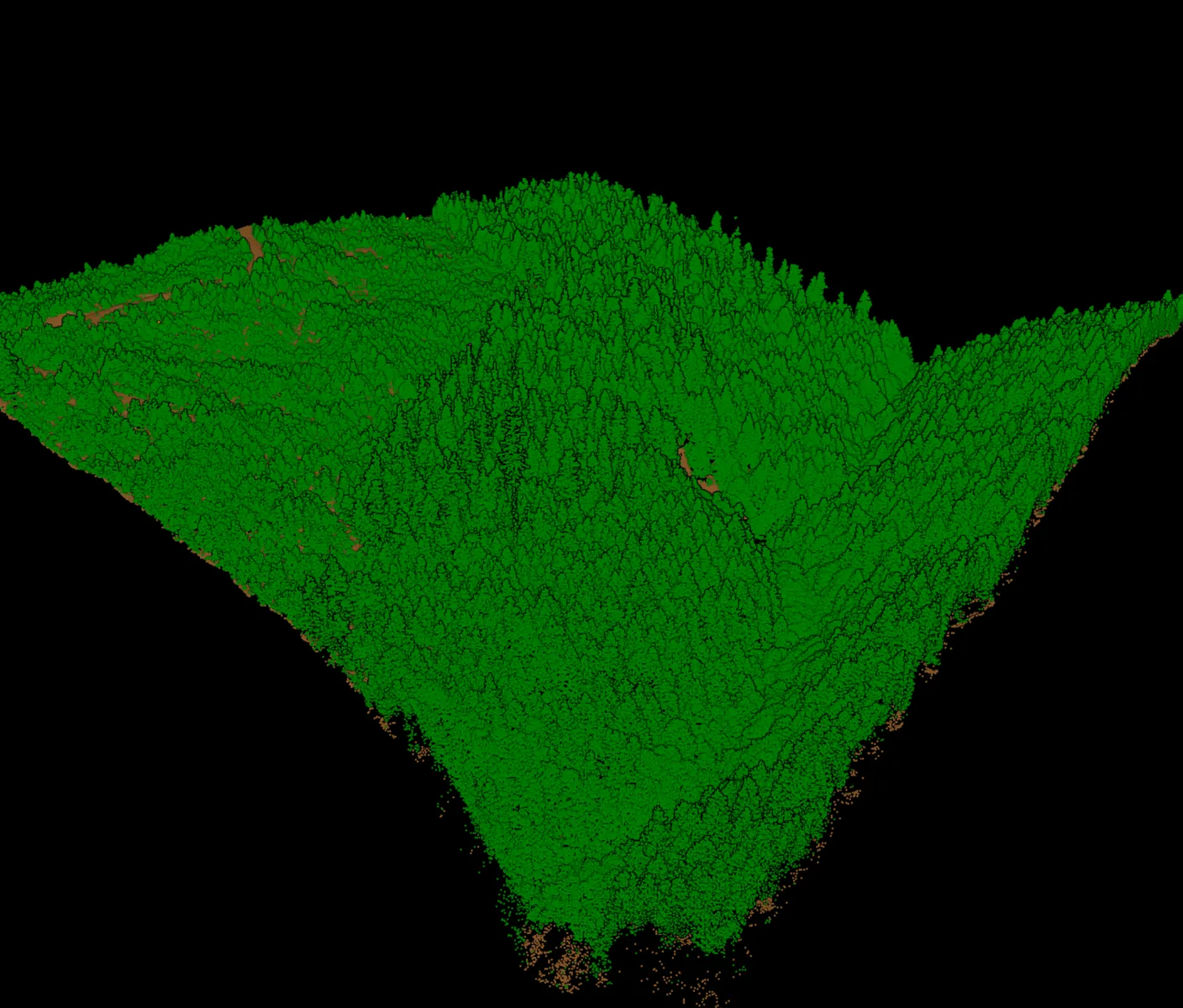
- Ground under canopy. Only a fraction of pulses reach the forest floor. At QL3 spacing a closed canopy can leave gaps of many metres between ground returns, and the terrain model interpolates across them. Ground is the class that inherits every one of those gaps.
- Low vegetation versus ground. Separating brush from the surface it grows on depends on seeing a height difference of a few decimetres. Sparse sampling blurs it, and the classifier leans one way or the other for the whole slope.
- Small roofs and roof edges. A shed or an eave sampled by a handful of returns has no plane to fit. Building classification holds on large flat roofs long after it fails on outbuildings.
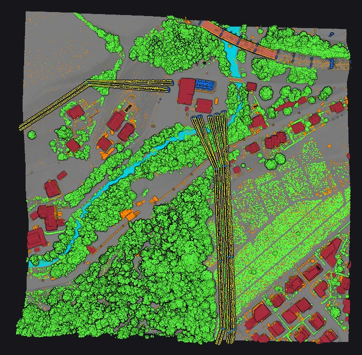
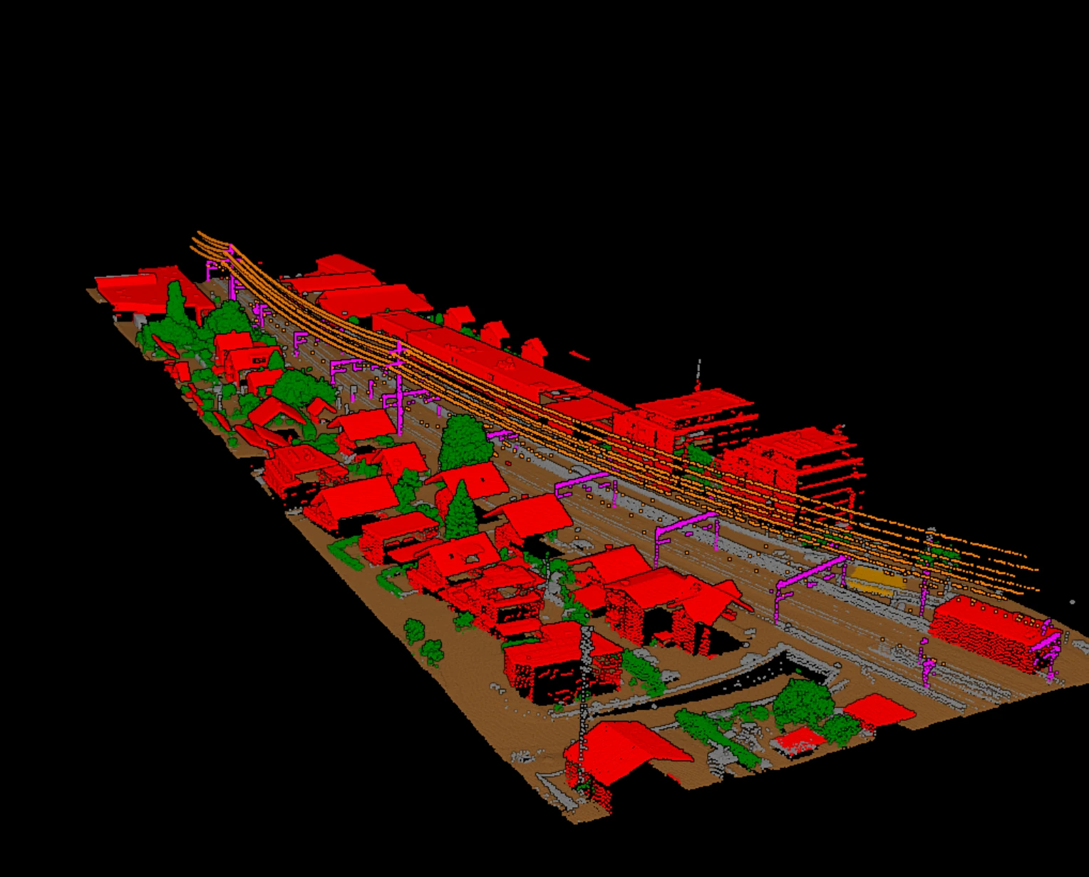
- Conductors. A wire is a line a few centimetres wide. What the sensor sees of it depends on spacing along the flight line and on scan pattern more than on average density; corridor flights are planned around this, not around the quality level table.
- Bridge decks and overhead structures. These are defined by what is beneath them. Sparse data under a deck makes the deck look like ground.
What the specification asks of the classified file
Density is only half of what a public-programme deliverable inherits from the specification. The minimum classification scheme names the classes a file must carry: processed but unclassified, bare earth, low noise, water, bridge deck, high noise, ignored ground, snow, and temporal exclusion [3]. Classification must be consistent across the whole project, and visible changes in its character between tiles, swaths, or lifts are grounds for rejecting the entire delivery [4]. No point may be left in class 0 unless it is flagged as withheld, and the withheld flag is reserved for points that cannot reasonably be read as valid surface returns [4]. The overlap flag is not to be used at all for data intended for the national holdings [4].
That consistency clause is the one automatic classification is best placed to satisfy. A model applied with the same settings to every tile produces the same character everywhere; a crew of operators editing by hand does not, and the seams show. Our pre-delivery checklist covers how to check for exactly that.
What to ask before the aircraft takes off
- Which quality level does the contract cite, and is the density requirement aggregate or single-swath? The specification assesses spacing on single-swath first returns and requires at least 90 percent of cells, at twice the design spacing, to hold a point [5].
- For corridor or urban work, what along-track spacing and scan pattern will the small features actually receive?
- How much of the area is closed canopy, and what ground-return density is expected beneath it?
- Will withheld and overlap flags be set by the acquisition team, and will they be preserved through classification?
- Which classes does the deliverable require beyond the minimum scheme, and who checks them?
Vecten's pretrained models are built for airborne and UAV blocks across this range of densities, with ground, vegetation, buildings, bridge decks, noise, and corridor assets as public class groups. Vecten Desktop runs them on your own workstation; Vecten Cloud runs the same models in the browser.
Frequently asked questions
- What point density do I need for classification?
- It depends on the smallest feature you must classify. Terrain and large buildings hold at QL2 density, around 2 pulses per square metre. Low vegetation splits, small roofs, and conductors need denser sampling, and corridor flights are planned around along-track spacing rather than the quality level table.
- How do pulse spacing and pulse density relate?
- For a regular pattern, spacing is one divided by the square root of density. Eight pulses per square metre corresponds to about 0.35 m spacing, two to about 0.71 m, and half a pulse to about 1.41 m, which is how the USGS quality level table is built.
- Does a higher point count guarantee better classification?
- No. Density sets the ceiling. Sensor noise, strip alignment, and the classifier's training decide how close a block gets to it. A dense but poorly aligned survey classifies worse than a QL2 survey with clean strips.
References
- [1] U.S. Geological Survey, *Lidar Base Specification 2025 rev. A*, Tables 1 and 6. usgs.gov
- [2] U.S. Geological Survey, *Topographic Data Quality Levels (QLs)*, 3D Elevation Program. usgs.gov
- [3] U.S. Geological Survey, *Lidar Base Specification 2025 rev. A*, Table 5, minimum lidar data classification scheme. usgs.gov
- [4] U.S. Geological Survey, *Lidar Base Specification 2025 rev. A*, data processing and handling requirements. usgs.gov
- [5] U.S. Geological Survey, *Lidar Base Specification 2025 rev. A*, collection requirements. usgs.gov