Reviewing a classified point cloud before delivery: a checklist
Automatic classification gets a block most of the way. The review pass is what turns it into a deliverable someone will sign for. Reviewers who do this every week converge on the same short list of checks, in roughly the same order, because each one catches a failure the next one would otherwise hide. Here is that list, written so a new team member can run it on a block tomorrow.
1. Open the file as if you had never seen it
Before looking at a single class, confirm the file itself. Point count, extent, and coordinate system should match the input block; a classifier has no business changing them. Check that the LAS version and point data record format are what the deliverable specifies, and that the variable length records carrying the coordinate reference system came through [1]. If the block was delivered with withheld or overlap flags, make sure they are still set; a tool that drops flags has silently undone the acquisition team's work.
2. Read the class histogram
Count points per class and compare with what the scene should contain. A forested tile with almost no high vegetation, an urban tile with a few hundred building points, or a large share of points still at class 0 or 1 each point to a failed pass before you open a viewer. Unassigned points are not an error in themselves, but the deliverable should say how many are acceptable and where.
3. Check the ground before anything else
Build a quick terrain surface from class 2 only and shade it. Ridges that look like stair steps, pits under buildings, and smooth bumps where a low roof or a dense hedge was absorbed into the ground are all visible in a hillshade in seconds. Where surveyed check points exist, compute the vertical residuals against the surface; the specification for the project will state the tolerance, and the residuals are the number the client will ask for [2]. Our ground classification note covers the terrain types that break a ground filter.
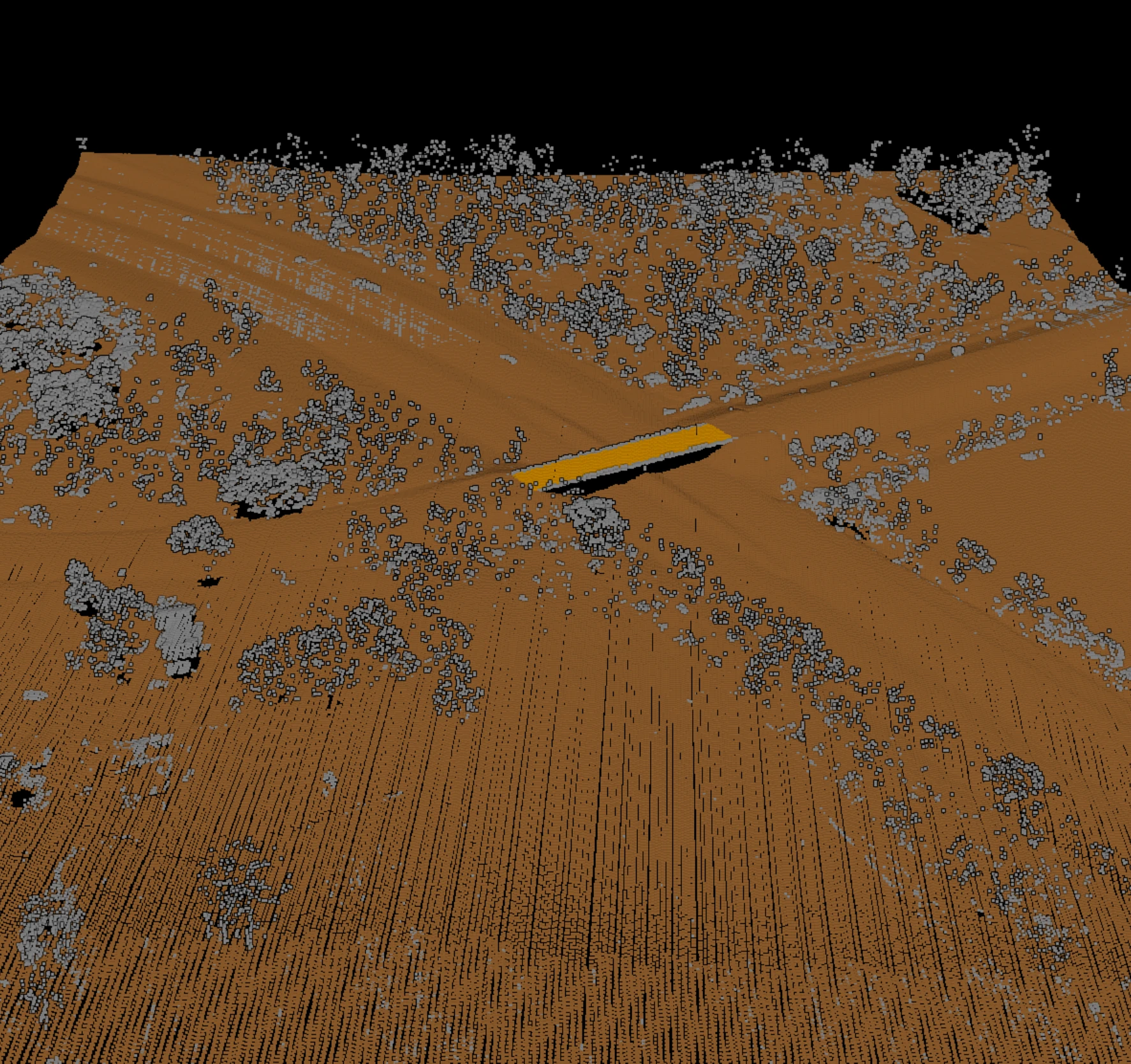
4. Walk the confusion zones
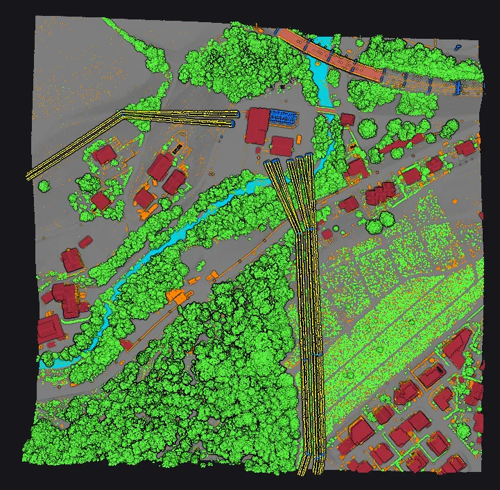
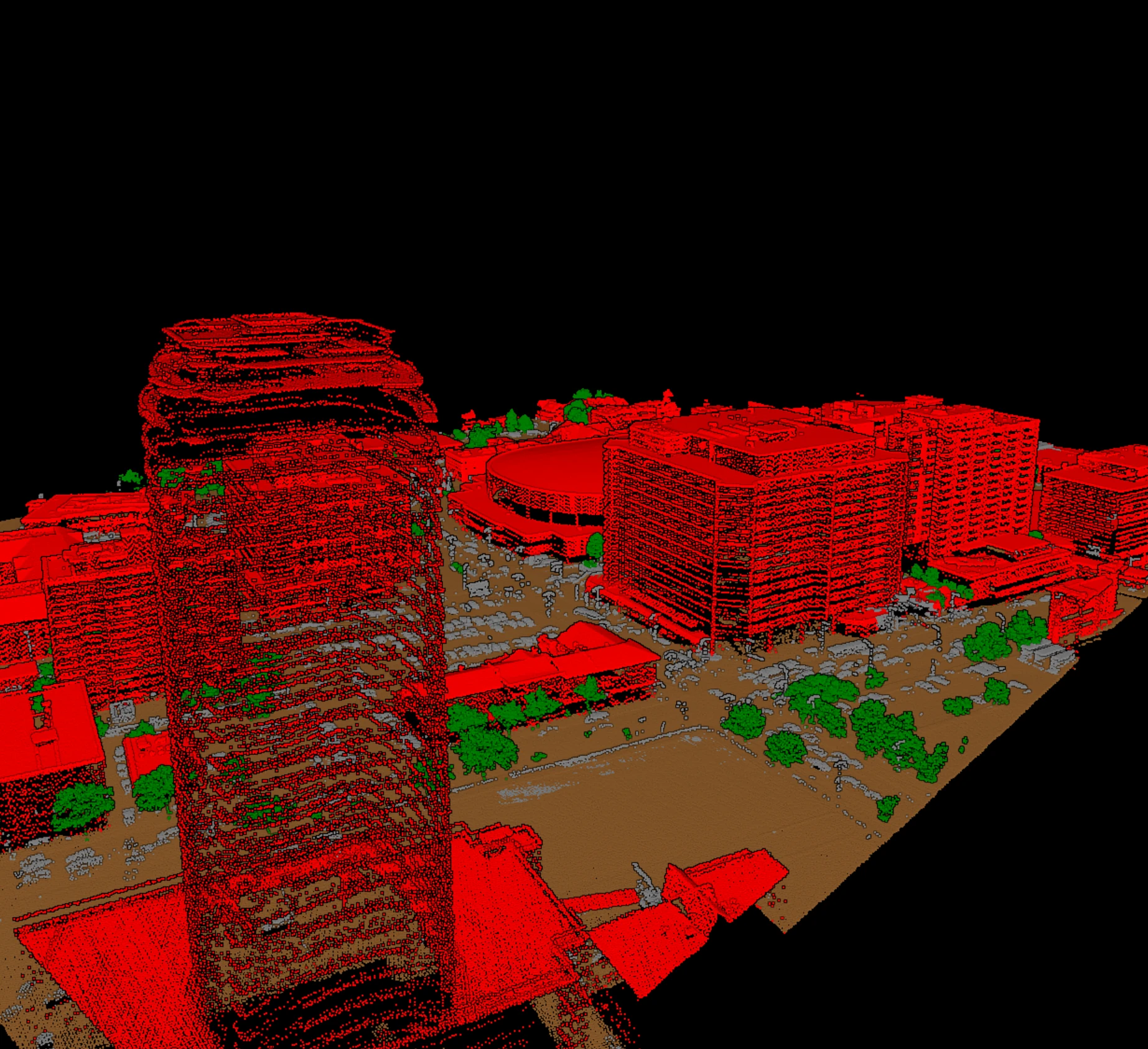
Classes fail in predictable pairs. Building and high vegetation trade points along roof edges and under overhanging crowns. Low vegetation and ground trade points on slopes and in crops. Bridge decks get absorbed into ground or into building. Water surfaces come back sparse and end up as noise or unassigned. Instead of scanning the whole tile, go to the places where these pairs meet: a treed street, a river bank, a bridge, a slope with brush. Five minutes at each tells you more than an hour of random panning.
| Where to look | Likely leak | Quick test |
|---|---|---|
| Roof edges under trees | Building into high vegetation, or the reverse | Colour by class, view a cross-section through the eave |
| Slopes with brush | Low vegetation into ground | Shade the ground; look for smooth bumps |
| Bridges and overpasses | Bridge deck into ground or building | Cross-section along the span; deck should float above class 2 |
| Rivers and ponds | Water into noise or unassigned | Count class 9 points; check the surface is flat |
| Isolated high returns | Birds and haze left as building or vegetation | Filter points far above neighbours; they belong in class 18 |
5. Corridor classes get their own pass
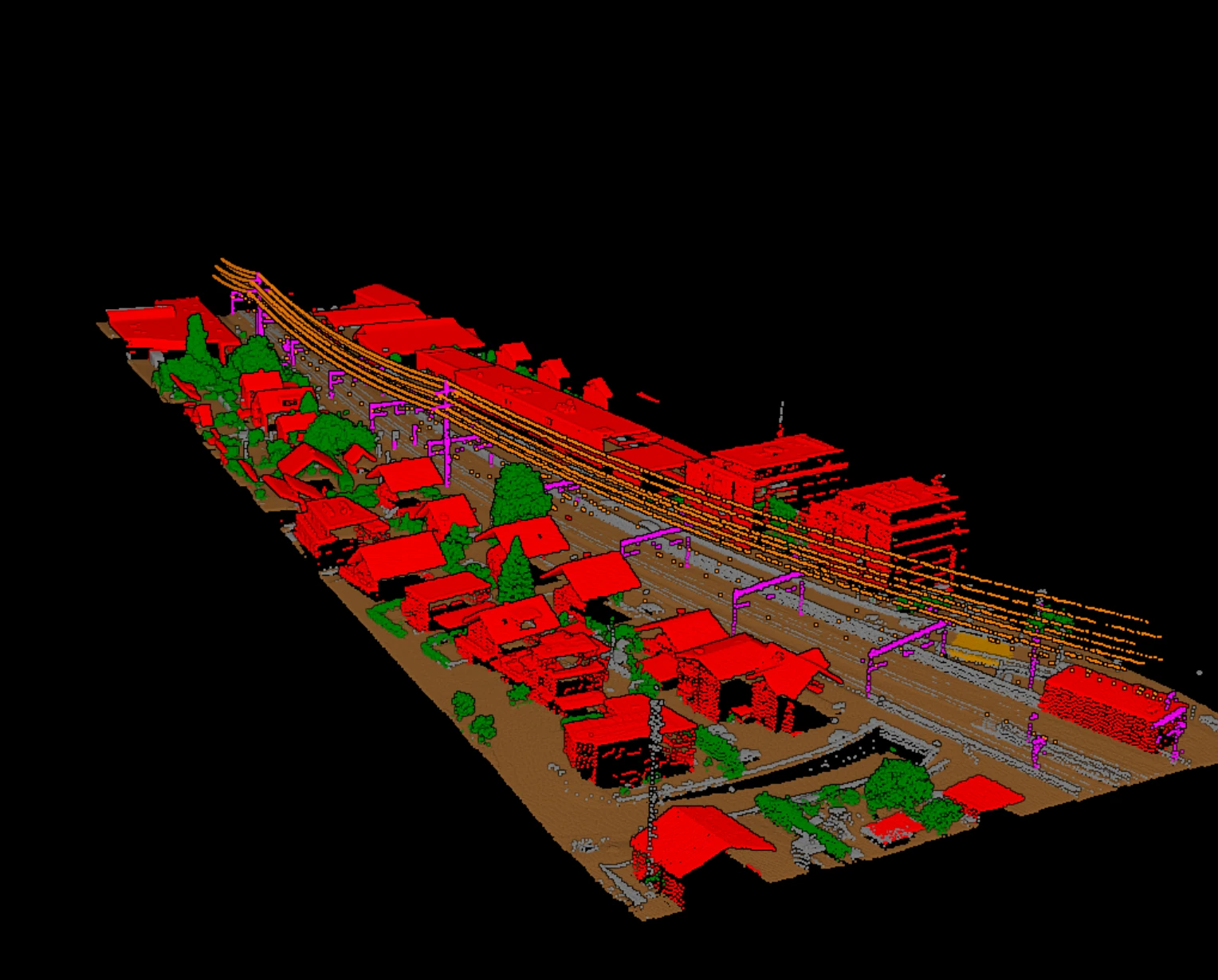
Utility work adds classes that fail differently. A conductor is a thin line of points with gaps; a classifier can drop a span, merge two conductors, or label a branch that crosses the line as wire. Follow every span end to end in a side view. Check that towers and poles are complete from ground to top, and that wire-structure connectors sit where conductors meet structures. Where the deliverable feeds a clearance analysis, a dropped span is not a cosmetic error; it is a missing measurement. The utility corridor note explains why wires are hard in the first place.
6. Fix, re-run, and record
Decide whether an error is local or systematic. A few mislabelled points on one roof are a manual edit. The same failure on every roof means a setting or a model choice, and the fix is a re-run of the tile, not an afternoon of clicking. Keep the loop tight: adjust, re-run, and repeat the checks above on the same places. When the block passes, write down what was checked, what was changed, and the residual numbers. That record is what makes the delivery defensible six months later, and it is what a second reviewer needs to pick the block up cold.
Vecten writes review layers and attributes next to every classified block so these checks start from a layer of doubtful points rather than a blank tile. Vecten Desktop runs that on your own workstation; Vecten Cloud does the same in the browser.
Frequently asked questions
- How much of a classified block should be reviewed?
- All of the file-level checks, the histogram, and the ground surface, every time. For the class-by-class walk, target the confusion zones on every tile and sample the rest; the project specification may set a sampling rate.
- What tolerance should ground residuals meet?
- The one written in the contract or the specification the contract cites. Public programmes publish vertical accuracy requirements per quality level; private contracts often reference them. Never assume a tolerance the deliverable does not state.
- Should unassigned points be reclassified before delivery?
- Only if the deliverable requires it. Many specifications accept unassigned points for features outside the required classes. What they do not accept is required features left unassigned, so check where the class 1 points are, not just how many.
References
- [1] ASPRS, *LAS Specification 1.4 – R16*, The American Society for Photogrammetry & Remote Sensing, LAS Working Group, 2025. github.com/ASPRSorg/LAS
- [2] U.S. Geological Survey, *Lidar Base Specification*, National Geospatial Program. usgs.gov